Runnymede
Runnymede/RU.26/0876
Bridge End Faris Lane Addlestone Surrey KT15 3DW
- Reference
- Runnymede/RU.26/0876
- Authority
- Runnymede
- Address
- Bridge End Faris Lane Addlestone Surrey KT15 3DW
- Postcode
- KT15 3DW
- Status
- REGISTERED
- Received
- 13 Jul 2026
- Started
- 13 Jul 2026
- Source council
- Runnymede
- Council source record
- View public record
- Public data licence
- Open Government Licence v3.0
- Record updated
- 18 Jul 2026
- SEO index generated
- 24 Jul 2026
Location
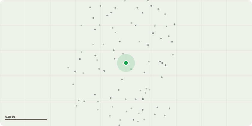
Approximate location
Proposal
T1 Mature, declining oak tree in front of property - Fell to ground level / Section dismantle Justification: The tree is showing significant decline in crown and has recently suffered the loss of a substantial limb, resulting in a large wound unbalanced crown with a potential entry point for decay organisms and airborne pathogens. Due to its declining condition and limited prospects for retention, removal is considered the most appropriate arboricultural option. Replacement planting will be recommended. T2 Elder tree in front of property - Fell to ground level / Section dismantle Justification: Elder tree is growing too close to property and is heavily encroaching building. Low amenity tree with poor form T3 - Oak (front of property, shared with neighbouring property) Reduce the crown by approximately 1.5- 2 metres, back to suitable growth points, maintaining the tree's natural shape and form. Crown thin by approximately 15%, consisting of the selective removal of secondary and tertiary growth only to improve light penetration and reduce sail effect, whilst retaining a balanced crown structure. Remove major deadwood and any crossing or rubbing branches.
Key dates
- Received 13 Jul 2026
- Started 13 Jul 2026
Planning history / related applications
No related planning applications have been identified in the current public OGL dataset.
Inside plotEdge
Go beyond the public record
This page is the public OGL record. plotEdge adds the private intelligence layer for this site - open it in the app to unlock:
- Ownership & title Registered owner and title from HM Land Registry.
- Viability & build potential Site scoring and development upside.
- Constraints Flood risk, green belt, conservation areas and designations.
- Approval signal Planning risk and approval-likelihood analysis.
- Comparable applications Decisions on similar nearby sites, side by side.
- Status alerts Get notified the moment this application changes.
Source: public planning application data from Runnymede, reused under the Open Government Licence v3.0. View the council source record. Council documents and drawings are not republished on plotEdge.