Runnymede
Runnymede/RU.26/0160
Longcross North Data Centre Campus Chobham Lane KT16 0EE
- Reference
- Runnymede/RU.26/0160
- Authority
- Runnymede
- Address
- Longcross North Data Centre Campus Chobham Lane KT16 0EE
- Postcode
- KT16 0EE
- Status
- FINAL DECISION
- Decision
- Approve
- Received
- 6 Feb 2026
- Started
- 6 Feb 2026
- Decided
- 23 Apr 2026
- Source council
- Runnymede
- Council source record
- View public record
- Public data licence
- Open Government Licence v3.0
- Record updated
- 12 Jul 2026
- SEO index generated
- 24 Jul 2026
Location
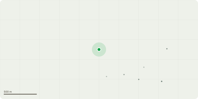
Approximate location
Proposal
Details pursuant to Discharge Condition 20 (Verification report) of planning permission RU.13/0856 Hybrid planning application for the demolition of existing buildings and redevelopment of the site to provide; up to 79,025sqm (GEA) of Class B1 employment uses (including parking); up to 36,000sqm (GEA) of sui generis Data Centres use (including ancillary facilities and parking); up to 200 dwellings, including a detailed first phase comprising 108 dwellings (comprising 13 x two bed, 26 x three bed, 21 x four bed and 13 x five bed dwellings; 8 x one bed apartments and 23 x two bed apartments; and 2 x one bed FOGs and 2 x two bed FOGs); roadways driveways and pavements; fencing and walling; up to 6,300sqm (GEA) of ancillary uses, including Class A1 - A5 uses (i.e. retail uses, cafe/restaurants and a public house up to 1,550sqm GEA), Class D1 uses (i.e. childcare facilities up to 600sqm GEA); Class D2 uses (i.e. Health and Leisure (up to 1900sqm GEA); the creation of Publicly Accessible Open Space (PAOS), ecological habitats, general amenity areas ( including informal and formal open spaces), equipped play areas and landscaped areas; new vehicular accesses from the existing public highway network; vehicle and cycle parking; bin stores; landscape compound; car parking (for railway station); electricity sub-stations; lighting; drainage and associated infrastructure works, including sustainable drainage systems (SUDS); a foul pumping station; an acoustic fence and associated engineering and service operations.
Key dates
- Received 6 Feb 2026
- Started 6 Feb 2026
- Decided 23 Apr 2026
Planning history / related applications
No related planning applications have been identified in the current public OGL dataset.
Inside plotEdge
Go beyond the public record
This page is the public OGL record. plotEdge adds the private intelligence layer for this site - open it in the app to unlock:
- Ownership & title Registered owner and title from HM Land Registry.
- Viability & build potential Site scoring and development upside.
- Constraints Flood risk, green belt, conservation areas and designations.
- Approval signal Planning risk and approval-likelihood analysis.
- Comparable applications Decisions on similar nearby sites, side by side.
- Status alerts Get notified the moment this application changes.
Source: public planning application data from Runnymede, reused under the Open Government Licence v3.0. View the council source record. Council documents and drawings are not republished on plotEdge.