Runnymede
Runnymede/RU.26/0140
Royal Holloway Univerisyt Of London, Arboretum Egham Hill Egham Surrey TW20 0EX
- Reference
- Runnymede/RU.26/0140
- Authority
- Runnymede
- Address
- Royal Holloway Univerisyt Of London, Arboretum Egham Hill Egham Surrey TW20 0EX
- Postcode
- TW20 0EX
- Status
- FINAL DECISION
- Decision
- Spilt decison for Tree applications
- Received
- 4 Feb 2026
- Started
- 4 Feb 2026
- Decided
- 27 Mar 2026
- Source council
- Runnymede
- Council source record
- View public record
- Public data licence
- Open Government Licence v3.0
- Record updated
- 12 Jul 2026
- SEO index generated
- 24 Jul 2026
Location
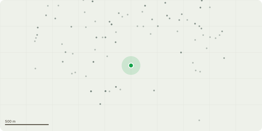
Approximate location
Proposal
T1681, Robinia, To crown reduce tree by 2m. Major Deadwood (>25mm Diameter). Large areas of necrotic bark on stem and branches. T1563, Incense Cedar, To reduce height by 3m to ease weight on tight fork. Large wound from previous stem failure with decay noted on east side of stem at 5m Some small dead branches in crown. Growing in close proximity to neighboring buildings. T0237, Lawsons cypress, reduce height of tree by 4 metres. The tree is growing west over the adjacent property
Key dates
- Received 4 Feb 2026
- Started 4 Feb 2026
- Decided 27 Mar 2026
Planning history / related applications
No related planning applications have been identified in the current public OGL dataset.
Inside plotEdge
Go beyond the public record
This page is the public OGL record. plotEdge adds the private intelligence layer for this site - open it in the app to unlock:
- Ownership & title Registered owner and title from HM Land Registry.
- Viability & build potential Site scoring and development upside.
- Constraints Flood risk, green belt, conservation areas and designations.
- Approval signal Planning risk and approval-likelihood analysis.
- Comparable applications Decisions on similar nearby sites, side by side.
- Status alerts Get notified the moment this application changes.
Source: public planning application data from Runnymede, reused under the Open Government Licence v3.0. View the council source record. Council documents and drawings are not republished on plotEdge.