Runnymede
Runnymede/RU.25/1520
19B Thames Close Chertsey Surrey KT16 8NQ
- Reference
- Runnymede/RU.25/1520
- Authority
- Runnymede
- Address
- 19B Thames Close Chertsey Surrey KT16 8NQ
- Postcode
- KT16 8NQ
- Status
- FINAL DECISION
- Decision
- Tree- Grant works to tree covered by TPO
- Received
- 31 Oct 2025
- Started
- 31 Oct 2025
- Decided
- 11 Dec 2025
- Source council
- Runnymede
- Council source record
- View public record
- Public data licence
- Open Government Licence v3.0
- Record updated
- 12 Jul 2026
- SEO index generated
- 24 Jul 2026
Location
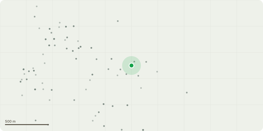
Approximate location
Proposal
T1 - Horse chestnut - Fell to ground level - Reason for work: A detailed tree condition assessment has identified extensive structural and physiological defects that present significant safety concerns and justify removal. The tree exhibits a large decay column extending from ground level to approximately 6 m on the house side, with associated cavities at the base and within the crown (around 8 m) following previous limb failure. Sounding tests confirm substantial hollowing on the house side of the main stem. Large Ganoderma adspersum (Southern Bracket) fruiting bodies are present at the base, with early signs of Kretzschmaria deusta (Brittle Cinder) infection above. These decay fungi are known to cause extensive white and soft rot, severely compromising the structural integrity of the stem and buttress roots. Bark cracking, wounds on surface roots, and evidence of previous crown reduction further indicate advanced decline. Given the extent of decay, the presence of active pathogenic fungi, and the proximity of the tree to the dwelling, there is a high risk of structural failure. The tree therefore cannot be safely retained and is recommended for felling to ground level on safety and structural grounds.
Key dates
- Received 31 Oct 2025
- Started 31 Oct 2025
- Decided 11 Dec 2025
Planning history / related applications
No related planning applications have been identified in the current public OGL dataset.
Inside plotEdge
Go beyond the public record
This page is the public OGL record. plotEdge adds the private intelligence layer for this site - open it in the app to unlock:
- Ownership & title Registered owner and title from HM Land Registry.
- Viability & build potential Site scoring and development upside.
- Constraints Flood risk, green belt, conservation areas and designations.
- Approval signal Planning risk and approval-likelihood analysis.
- Comparable applications Decisions on similar nearby sites, side by side.
- Status alerts Get notified the moment this application changes.
Source: public planning application data from Runnymede, reused under the Open Government Licence v3.0. View the council source record. Council documents and drawings are not republished on plotEdge.