Runnymede
Runnymede/RU.25/1237
23-24 The Hythe Staines-upon-thames Surrey TW18 3JA
- Reference
- Runnymede/RU.25/1237
- Authority
- Runnymede
- Address
- 23-24 The Hythe Staines-upon-thames Surrey TW18 3JA
- Postcode
- TW18 3JA
- Status
- WITHDRAWN
- Decision
- Withdrawn Decision
- Source council
- Runnymede
- Council source record
- View public record
- Public data licence
- Open Government Licence v3.0
- Record updated
- 12 Jul 2026
- SEO index generated
- 24 Jul 2026
Location
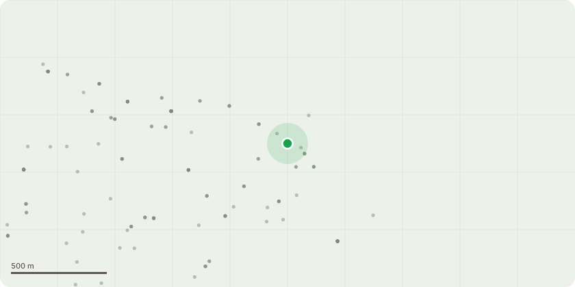
Approximate location
Proposal
The tree sits within a conservation location and has never been pollarded - it???s basically been left to grow without any attention and looks very lob sided - the tree doesn???t have a TPO and sits within 2 boundaries, I have permission from the neighbour to have access and pollard the tree, the tree is a wild sycamore that???s just been left to get out of control - we have lost 2 feet of our own boundary due to the size and nature of the tree, all we want to do is trim the tree back and make safe the area in which we have a garage - the risk of this tree falling down is very great, and would fall onto buildings and number 1 chertsey lane. All the neighbours are very keen to commence some work and look to reduce and control this tree.
Planning history / related applications
No related planning applications have been identified in the current public OGL dataset.
Inside plotEdge
Go beyond the public record
This page is the public OGL record. plotEdge adds the private intelligence layer for this site - open it in the app to unlock:
- Ownership & title Registered owner and title from HM Land Registry.
- Viability & build potential Site scoring and development upside.
- Constraints Flood risk, green belt, conservation areas and designations.
- Approval signal Planning risk and approval-likelihood analysis.
- Comparable applications Decisions on similar nearby sites, side by side.
- Status alerts Get notified the moment this application changes.
Source: public planning application data from Runnymede, reused under the Open Government Licence v3.0. View the council source record. Council documents and drawings are not republished on plotEdge.