Runnymede
Runnymede/RU.25/0562
44 Crown Street Egham Surrey TW20 9BZ
- Reference
- Runnymede/RU.25/0562
- Authority
- Runnymede
- Address
- 44 Crown Street Egham Surrey TW20 9BZ
- Postcode
- TW20 9BZ
- Status
- FINAL DECISION
- Decision
- Tree - No objection to tree work in Conservation Area
- Received
- 25 Apr 2025
- Started
- 25 Apr 2025
- Decided
- 13 Aug 2025
- Source council
- Runnymede
- Council source record
- View public record
- Public data licence
- Open Government Licence v3.0
- Record updated
- 12 Jul 2026
- SEO index generated
- 24 Jul 2026
Location
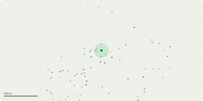
Approximate location
Proposal
Tree Species: Horse Chestnut (T1) Proposed Works: Fell Reasons for Work: The roots of the tree have caused significant structural damage to the surrounding concrete areas within the garden, breaking up hard surfacing and creating trip hazards. More critically, the root system is now obstructing a designated fire exit used by neighbouring properties. This presents a serious health and safety risk that cannot be resolved through pruning or root containment. Due to the extent of the damage and the safety concerns involved, removal of the tree is necessary. Replanting Proposal: We propose to replant with Amelanchier lamarckii (Juneberry) in a more appropriate location within the garden, away from hard surfaces and boundaries. This tree is suitable for residential planting, with a modest size (typically 4???6m at maturity), a non-invasive root system, and low pollen production (I have an allergy to tree pollen so this was taken into account when choosing a replacement), making it ideal for managing hay fever and other allergy concerns. Amelanchier offers excellent seasonal interest, including white spring flowers, edible berries that support local wildlife, and vibrant autumn foliage. A standard form tree (10???12cm girth) will be planted to ensure a positive contribution to the garden???s character and to maintain biodiversity within the conservation area.
Key dates
- Received 25 Apr 2025
- Started 25 Apr 2025
- Decided 13 Aug 2025
Planning history / related applications
No related planning applications have been identified in the current public OGL dataset.
Inside plotEdge
Go beyond the public record
This page is the public OGL record. plotEdge adds the private intelligence layer for this site - open it in the app to unlock:
- Ownership & title Registered owner and title from HM Land Registry.
- Viability & build potential Site scoring and development upside.
- Constraints Flood risk, green belt, conservation areas and designations.
- Approval signal Planning risk and approval-likelihood analysis.
- Comparable applications Decisions on similar nearby sites, side by side.
- Status alerts Get notified the moment this application changes.
Source: public planning application data from Runnymede, reused under the Open Government Licence v3.0. View the council source record. Council documents and drawings are not republished on plotEdge.