Runnymede
Runnymede/RU.25/0257
Street Record Cartwright Drive Chertsey Surrey KT16 9QG
- Reference
- Runnymede/RU.25/0257
- Authority
- Runnymede
- Address
- Street Record Cartwright Drive Chertsey Surrey KT16 9QG
- Postcode
- KT16 9QG
- Status
- FINAL DECISION
- Decision
- Tree- Grant works to tree covered by TPO
- Received
- 7 Mar 2025
- Started
- 7 Mar 2025
- Decided
- 9 Apr 2025
- Source council
- Runnymede
- Council source record
- View public record
- Public data licence
- Open Government Licence v3.0
- Record updated
- 12 Jul 2026
- SEO index generated
- 24 Jul 2026
Location
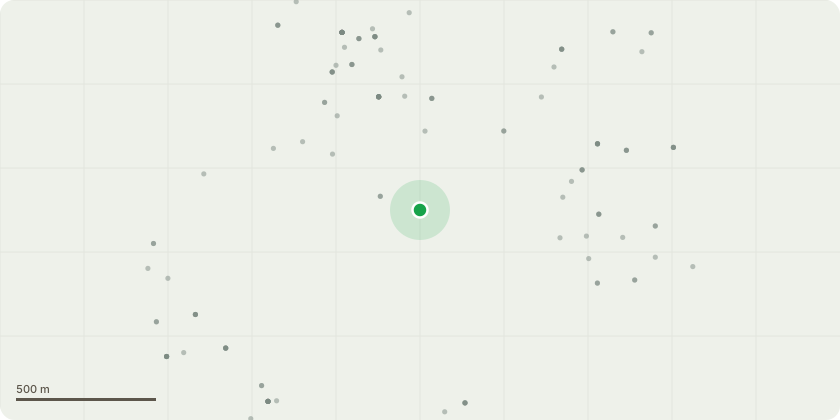
Approximate location
Proposal
T1 (T33 please see attached tree inspection report) Twin-stemmed Oak tree. Overhangs parking bays and turning point. Stem is in decline, One of the two stems is leaning heavily towards parking bay and turning point and properties beyond. The stem is in major decline with rot and staining on the trunk, it has a sparse crown with significant deadwood throughout. The union at the base of the two trunks is significantly weakened. There is evidence of a third stem having been historically removed. We recommend that this South-east leaning stem is removed to base level on health and safety grounds, due to major decline and risk of collapse. The South-east stem will needed to be dismantled, as it poses a risk to vehicles, property and potentially human life. Secondary stem to the rear is more upright and in good condition and will be retained, so that the tree can continue to thrive. T2. (T34 please see attached tree inspection report). Single stemmed Oak tree. Stands forward from shelterbelt treeline. It has previously been crown lifted at 0.5m and 2m. The crown is in severe decline, it has a bleeding stem, possibly Acute Oak Decline (AOD). We recommend to fell the tree to a ground level stump and to leave the logs in situ as habitat. The tree poses a risk to the nearby properties and public footpath as it continues to decline, due to the likelihood of collapse.
Key dates
- Received 7 Mar 2025
- Started 7 Mar 2025
- Decided 9 Apr 2025
Planning history / related applications
No related planning applications have been identified in the current public OGL dataset.
Inside plotEdge
Go beyond the public record
This page is the public OGL record. plotEdge adds the private intelligence layer for this site - open it in the app to unlock:
- Ownership & title Registered owner and title from HM Land Registry.
- Viability & build potential Site scoring and development upside.
- Constraints Flood risk, green belt, conservation areas and designations.
- Approval signal Planning risk and approval-likelihood analysis.
- Comparable applications Decisions on similar nearby sites, side by side.
- Status alerts Get notified the moment this application changes.
Source: public planning application data from Runnymede, reused under the Open Government Licence v3.0. View the council source record. Council documents and drawings are not republished on plotEdge.