Runnymede
Runnymede/RU.25/0139
16 Danehurst Close Egham Surrey TW20 9PX
- Reference
- Runnymede/RU.25/0139
- Authority
- Runnymede
- Address
- 16 Danehurst Close Egham Surrey TW20 9PX
- Postcode
- TW20 9PX
- Status
- FINAL DECISION
- Decision
- Tree - Refuse works to tree covered by TPO
- Received
- 5 Feb 2025
- Started
- 5 Feb 2025
- Decided
- 19 Mar 2025
- Source council
- Runnymede
- Council source record
- View public record
- Public data licence
- Open Government Licence v3.0
- Record updated
- 12 Jul 2026
- SEO index generated
- 24 Jul 2026
Location
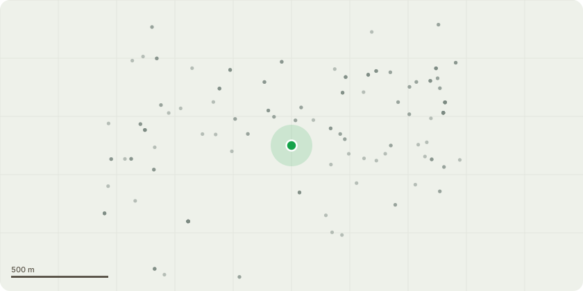
Approximate location
Proposal
T1 - English Oak (Quercus Robur) - Fell to ground level. (FROM TREE REPORT BELOW) The PiCUS and Resi PD confirmed the presence of an internal decay cavity from the base of the stem up to 60 cm height. This decay ranges from incipient to extensive and is focused from the central to northeast side of the stem. The decay present is currently still active and spreading both laterally and vertically within the stem. At present the level of internal decay does not warrant immediate remedial action. Given the location of this tree and potential for the spread of decay continue the condition should be monitored with another sonic tomograph being undertaken in 12 months. This second reading should permit the rate of the decay to be recorded enabling appropriate management recommendations to be made. Long term retention of this tree will require regular assessments using advanced decay detection equipment to monitor the spread of decay and crown reductions to manage the size of the crown. Due to the continued financial implications of retaining this tree it may be preferable for the owner to have the tree removed.
Key dates
- Received 5 Feb 2025
- Started 5 Feb 2025
- Decided 19 Mar 2025
Planning history / related applications
No related planning applications have been identified in the current public OGL dataset.
Inside plotEdge
Go beyond the public record
This page is the public OGL record. plotEdge adds the private intelligence layer for this site - open it in the app to unlock:
- Ownership & title Registered owner and title from HM Land Registry.
- Viability & build potential Site scoring and development upside.
- Constraints Flood risk, green belt, conservation areas and designations.
- Approval signal Planning risk and approval-likelihood analysis.
- Comparable applications Decisions on similar nearby sites, side by side.
- Status alerts Get notified the moment this application changes.
Source: public planning application data from Runnymede, reused under the Open Government Licence v3.0. View the council source record. Council documents and drawings are not republished on plotEdge.