Runnymede
Runnymede/RU.25/0012
The Lodge, Flat 1 Guildford Road Chertsey Surrey KT16 9LS
- Reference
- Runnymede/RU.25/0012
- Authority
- Runnymede
- Address
- The Lodge, Flat 1 Guildford Road Chertsey Surrey KT16 9LS
- Postcode
- KT16 9LS
- Status
- FINAL DECISION
- Decision
- Tree - Refuse works to tree covered by TPO
- Received
- 13 Jan 2025
- Started
- 13 Jan 2025
- Decided
- 3 Mar 2025
- Source council
- Runnymede
- Council source record
- View public record
- Public data licence
- Open Government Licence v3.0
- Record updated
- 12 Jul 2026
- SEO index generated
- 24 Jul 2026
Location
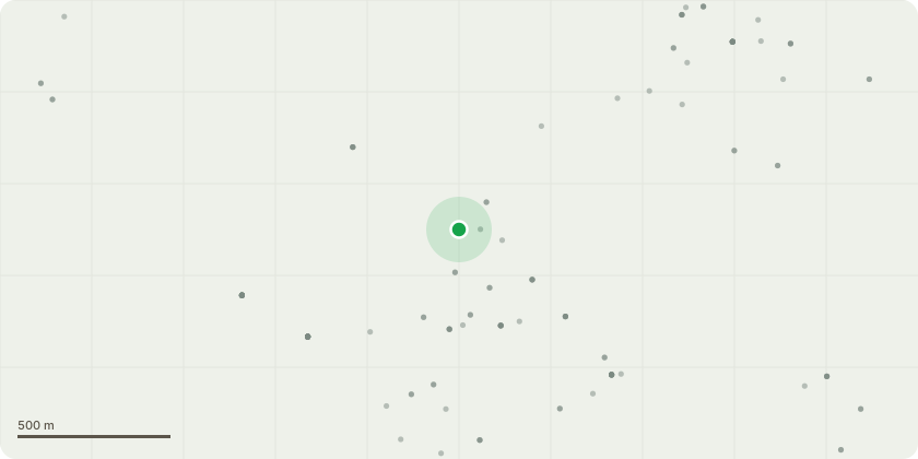
Approximate location
Proposal
T1 Cedar - front of properties by the road This tree has been shedding limbs for quite a few years now, I have been to 3 call outs so far for fallen/storm damaged limbs narrowly missing cars and pavement. It is situated on a very busy road and is looming over the residential parking area. Thankfully, residents have been at work when the limbs have fallen and there???s been no damage to cars or people so far. The remaining upper crown is now catching the wind and due to lack of lower growth, cannot spread its load safely throughout the trunk. There???s not much crown left to reduce while keeping any natural form in my opinion. The property management company and residents have been managing its decline but would like to have no liability for any further shedding. The removal of this tree would allow the adjacent Oak to take over as the new feature tree. Residents and management company would be happy to replace the tree like for like for a smaller more manageable tree should that help the application for removal. In summary, I feel this tree has reached the end of its safe life span and should be removed from a safety aspect.
Key dates
- Received 13 Jan 2025
- Started 13 Jan 2025
- Decided 3 Mar 2025
Planning history / related applications
No related planning applications have been identified in the current public OGL dataset.
Inside plotEdge
Go beyond the public record
This page is the public OGL record. plotEdge adds the private intelligence layer for this site - open it in the app to unlock:
- Ownership & title Registered owner and title from HM Land Registry.
- Viability & build potential Site scoring and development upside.
- Constraints Flood risk, green belt, conservation areas and designations.
- Approval signal Planning risk and approval-likelihood analysis.
- Comparable applications Decisions on similar nearby sites, side by side.
- Status alerts Get notified the moment this application changes.
Source: public planning application data from Runnymede, reused under the Open Government Licence v3.0. View the council source record. Council documents and drawings are not republished on plotEdge.