Runnymede
Runnymede/RU.24/1724
1 Liberty Rise Addlestone Surrey KT15 1NU
- Reference
- Runnymede/RU.24/1724
- Authority
- Runnymede
- Address
- 1 Liberty Rise Addlestone Surrey KT15 1NU
- Postcode
- KT15 1NU
- Status
- FINAL DECISION
- Decision
- Tree- Grant works to tree covered by TPO
- Received
- 7 Jan 2025
- Started
- 7 Jan 2025
- Decided
- 11 Feb 2025
- Source council
- Runnymede
- Council source record
- View public record
- Public data licence
- Open Government Licence v3.0
- Record updated
- 12 Jul 2026
- SEO index generated
- 24 Jul 2026
Location
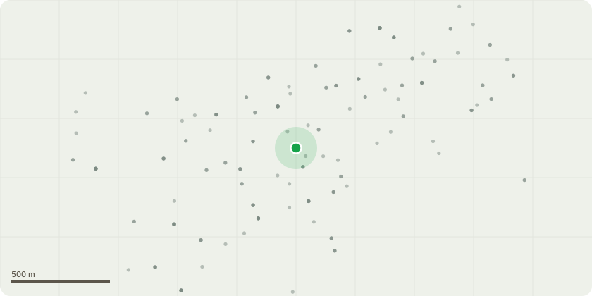
Approximate location
Proposal
T1- Beech (fagus sylvatica), located in an Easterly direction directly next to the property. The tree also borders the road (Ongar hill). The client proposes a clear fell due to the decline the tree has displayed over the last few years, they had Southern Oaks Arboricultural consultancy carry out a survey. They recommend the tree be felled for safety reasons, and flagged the crown decline stating "selected for removal due to a serious, irremediable, structural defect. Fungal fruiting bodies were found at the base of the stem identified as Meripilus giganteus. This causes a white / soft rot degrading pectin within the tree creating brittle wood liable to fracturing and have a relatively high incidence of uprooting. Considerable tip dieback is apparent in the crown, the bark of the main stem is beginning to flake, and the tree is heavily weighted toward the main road. " The tree is currently approximately 10m high and 12m wide. Once the client has completed the extension at the property and the garden is complete replacement planting has been suggested on the arb report.
Key dates
- Received 7 Jan 2025
- Started 7 Jan 2025
- Decided 11 Feb 2025
Planning history / related applications
No related planning applications have been identified in the current public OGL dataset.
Inside plotEdge
Go beyond the public record
This page is the public OGL record. plotEdge adds the private intelligence layer for this site - open it in the app to unlock:
- Ownership & title Registered owner and title from HM Land Registry.
- Viability & build potential Site scoring and development upside.
- Constraints Flood risk, green belt, conservation areas and designations.
- Approval signal Planning risk and approval-likelihood analysis.
- Comparable applications Decisions on similar nearby sites, side by side.
- Status alerts Get notified the moment this application changes.
Source: public planning application data from Runnymede, reused under the Open Government Licence v3.0. View the council source record. Council documents and drawings are not republished on plotEdge.