Runnymede
Runnymede/RU.24/1413
148 Brox Road Ottershaw Surrey KT16 0LQ
- Reference
- Runnymede/RU.24/1413
- Authority
- Runnymede
- Address
- 148 Brox Road Ottershaw Surrey KT16 0LQ
- Postcode
- KT16 0LQ
- Status
- WITHDRAWN
- Decision
- Withdrawn Decision
- Source council
- Runnymede
- Council source record
- View public record
- Public data licence
- Open Government Licence v3.0
- Record updated
- 12 Jul 2026
- SEO index generated
- 24 Jul 2026
Location
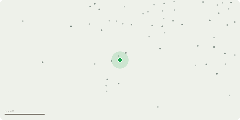
Approximate location
Proposal
I am applying for a dropped kerb outside my house due to ongoing building works on the Broxborough site in Brox Lane and I would be grateful if you would consider reducing the charge of for the planning permission and subsequent cost involved. While I understand the need for housing development in our borough, and that construction can cause disruptions, the following concerns have become increasingly difficult to manage: Road Conditions and Traffic Management: There are constant traffic lights outside my house, which I accept as necessary for utility services. However, the road has recently been left partially dressed with a gravel surface for several weeks. This has led to high-speed traffic kicking up gravel, resulting in a chipped windscreen on my small black Fiat 500. Despite contacting Surrey County Council about the road's completion, I have only received an automated response with no follow-up. Dust and Health Concerns: My car is consistently covered in a brown dust. After consulting Ashley Smith at the council, I expressed my concerns about the potential presence of hazardous particles like Naphthalene and Pyrene, which I understand are linked to various health risks, including stomach cancer. My 19-year-old son has recently been experiencing gastrointestinal issues and is scheduled for a colonoscopy on 25th October, which adds to my worries about possible exposure. According to a Remediation Strategy and Verification Plan dated February 6, 2024 (readable on the council website), these substances were identified at the site, with a recommendation to dampen the area during dry spells to prevent off-site exposure. Unfortunately, this does not seem to be happening consistently, and I remain concerned about the impact on our health. Parking Challenges: I do not have off-road parking and have always relied on parking on the street without issue since moving in July 2021. Last week, however, yellow lines have been painted across the road, reducing the available p
Planning history / related applications
No related planning applications have been identified in the current public OGL dataset.
Inside plotEdge
Go beyond the public record
This page is the public OGL record. plotEdge adds the private intelligence layer for this site - open it in the app to unlock:
- Ownership & title Registered owner and title from HM Land Registry.
- Viability & build potential Site scoring and development upside.
- Constraints Flood risk, green belt, conservation areas and designations.
- Approval signal Planning risk and approval-likelihood analysis.
- Comparable applications Decisions on similar nearby sites, side by side.
- Status alerts Get notified the moment this application changes.
Source: public planning application data from Runnymede, reused under the Open Government Licence v3.0. View the council source record. Council documents and drawings are not republished on plotEdge.