Rugby
Rugby/R26/0170
Parcel E (Miller Homes), Houlton (Rugby Radio Station), Key Phase 4, Watling Street, Rugby, CV23 0AS
- Reference
- Rugby/R26/0170
- Authority
- Rugby
- Application type
- Conditions
- Address
- Parcel E (Miller Homes), Houlton (Rugby Radio Station), Key Phase 4, Watling Street, Rugby, CV23 0AS
- Postcode
- CV23 0AS
- Status
- Consulted - Conditions
- Received
- 18 Feb 2026
- Validated
- 25 Feb 2026
- Started
- 25 Feb 2026
- Source council
- Rugby
- Council source record
- View public record
- Public data licence
- Open Government Licence v3.0
- Record updated
- 14 Jul 2026
- SEO index generated
- 24 Jul 2026
Location
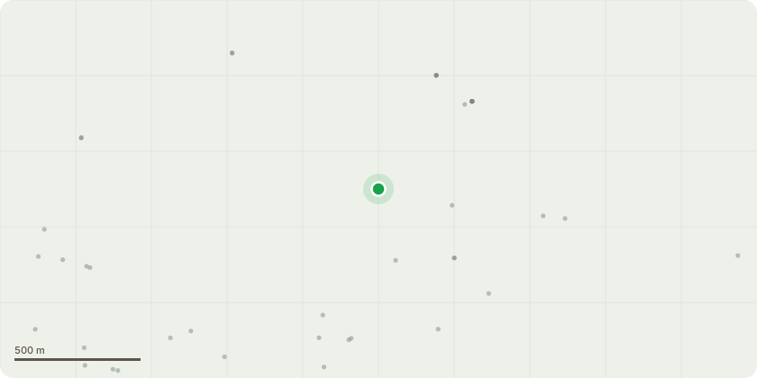
Approximate location
Proposal
Details of condition 17 (Code of Construction Practice) of R17/0022. Outline application for an urban extension to Rugby for up to 6,200 dwellings together with up to 12,000sqm retail (A1), up to 3,500sqm financial services (A2) and restaurants (A3 - A5), up to 3,500sqm for a hotel (C1), up to 2,900sqm of community uses (D1), up to 3,100sqm assembly and leisure uses (D2), 31 hectares (up to 106,000sqm) of commercial and employment space (B1, B2 and B8), and ancillary facilities; a mixed use district centre and 3 subsidiary local centres including retention and re-use of the existing buildings known as 'C' Station (Grade II listed), 'A' Station and some existing agricultural buildings; a secondary school and 3 primary schools; public art; green infrastructure including formal and informal open space and amenity space; retention of existing hedgerows, areas of ridge and furrow and grassland; new woodland areas, allotments and areas for food production, wildlife corridors; supporting infrastructure (comprising utilities including gas, electricity, water, sewerage, telecommunications, and diversions as necessary); sustainable drainage systems including ponds, lakes and water courses; a link road connecting the development to Butlers Leap, estate roads and connections to the surrounding highway, cycleway and pedestrian network; ground remodelling; any necessary demolition and any ground works associated with the removal of any residual copper matting, with all matters reserved for future determination except the three highway junctions on the A428, the two junctions on the A5 and the link road junctions at Butlers Leap and Hillmorton Lane Variation of condition 5 attached to outline planning permission R11/0699 dated 21/05/2014 to cover minor material changes to the approved Parameter Plans and Development Specification and deletion and/or amendment of conditions already discharged to reflect approvals already granted pursuant to the outline planning permission.
Key dates
- Received 18 Feb 2026
- Validated 25 Feb 2026
- Started 25 Feb 2026
Planning history / related applications
No related planning applications have been identified in the current public OGL dataset.
Inside plotEdge
Go beyond the public record
This page is the public OGL record. plotEdge adds the private intelligence layer for this site - open it in the app to unlock:
- Ownership & title Registered owner and title from HM Land Registry.
- Viability & build potential Site scoring and development upside.
- Constraints Flood risk, green belt, conservation areas and designations.
- Approval signal Planning risk and approval-likelihood analysis.
- Comparable applications Decisions on similar nearby sites, side by side.
- Status alerts Get notified the moment this application changes.
Source: public planning application data from Rugby, reused under the Open Government Licence v3.0. View the council source record. Council documents and drawings are not republished on plotEdge.