Rugby
Rugby/R25/0587
FLAT, THE DUN COW, THE GREEN, DUNCHURCH, RUGBY, CV22 6NJ
- Reference
- Rugby/R25/0587
- Authority
- Rugby
- Application type
- Works to trees
- Address
- FLAT, THE DUN COW, THE GREEN, DUNCHURCH, RUGBY, CV22 6NJ
- Postcode
- CV22 6NJ
- Status
- Decision Made
- Decision
- Approval
- Received
- 7 Jul 2025
- Validated
- 6 Aug 2025
- Started
- 6 Aug 2025
- Decided
- 26 Aug 2025
- Source council
- Rugby
- Council source record
- View public record
- Public data licence
- Open Government Licence v3.0
- Record updated
- 14 Jul 2026
- SEO index generated
- 24 Jul 2026
Location
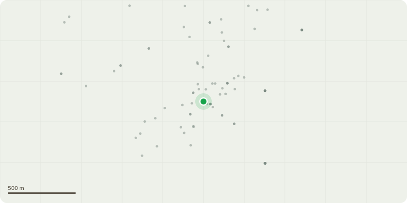
Approximate location
Proposal
Tree Reference: TPO Plan: Ash T1 Tree Survey/VTA Schedule: T4 (Tag 665) Species: Common Ash (Fraxinus excelsior) Location: Rear of The Dun Cow, Dunchurch, Rugby Dimensions: Approx. 14m in height with an 8m crown spread Age Class: Mature The tree has previously been topped, and approximately 4m of regrowth has developed. Extensive deadwood is present throughout the canopy, and several lower limbs extend significantly over the neighbouring property. Proposed Works: Crown Raise: Raise the crown to a uniform height of 4 metres above ground level, removing low branches to improve clearance for adjacent structures and pathways. Crown Thin: Thin the remaining canopy by 20%, focusing on removal of crossing, rubbing, and minor suppressed branches to improve airflow and light penetration. Deadwood Removal: Remove all major deadwood greater than 50mm in diameter, particularly in areas above high-usage spaces. Selective Reduction: Reduce lower lateral limbs extending towards the adjacent property by up to 2 metres, to reduce overhang and associated nuisance. Justification: The proposed works are intended to manage tree health and structure in accordance with BS3998:2010, mitigate risk posed by extensive deadwood, and reduce encroachment over neighbouring properties while preserving the tree's amenity value and contribution to the landscape.
Key dates
- Received 7 Jul 2025
- Validated 6 Aug 2025
- Started 6 Aug 2025
- Decided 26 Aug 2025
Planning history / related applications
No related planning applications have been identified in the current public OGL dataset.
Inside plotEdge
Go beyond the public record
This page is the public OGL record. plotEdge adds the private intelligence layer for this site - open it in the app to unlock:
- Ownership & title Registered owner and title from HM Land Registry.
- Viability & build potential Site scoring and development upside.
- Constraints Flood risk, green belt, conservation areas and designations.
- Approval signal Planning risk and approval-likelihood analysis.
- Comparable applications Decisions on similar nearby sites, side by side.
- Status alerts Get notified the moment this application changes.
Source: public planning application data from Rugby, reused under the Open Government Licence v3.0. View the council source record. Council documents and drawings are not republished on plotEdge.