Rugby
Rugby/R25/0387
190, DUNCHURCH ROAD, RUGBY, CV22 6HR
- Reference
- Rugby/R25/0387
- Authority
- Rugby
- Application type
- Works to trees
- Address
- 190, DUNCHURCH ROAD, RUGBY, CV22 6HR
- Postcode
- CV22 6HR
- Status
- Decision Made
- Decision
- Approval
- Received
- 24 Apr 2025
- Validated
- 6 May 2025
- Started
- 6 May 2025
- Decided
- 11 Jun 2025
- Source council
- Rugby
- Council source record
- View public record
- Public data licence
- Open Government Licence v3.0
- Record updated
- 14 Jul 2026
- SEO index generated
- 24 Jul 2026
Location
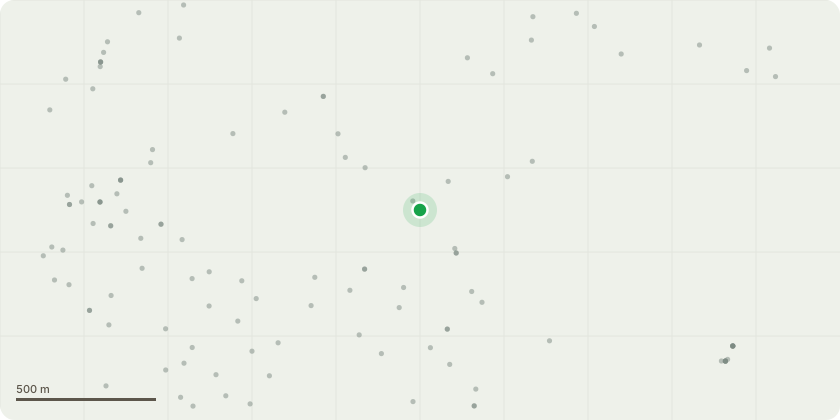
Approximate location
Proposal
1) TPO 19 83 no.50 (Document ref: TPO No 50 land surrounding 1 Overslade Lane) ( T11 (Sycamore)) 2) TPO [TR4.286 ,T1(Cherry)] cut to ground due to significant safety concerns. 1) T11 (Sycamore): The tree in question is mostly dead (approximately 60-70%), with numerous dead branches that pose a risk to public safety on the adjacent road, Milestone Drive. Children regularly play in the driveway, and the presence of these dead branches presents a potential hazard. also, these dead branches are affecting nearby structures Additionally, I am concerned that removing only the dead branches could leave the tree unbalanced, thereby increasing the risk of instability and posing an additional safety hazard on adjacent road and potential risk to nearby structures For these reasons, I am seeking your formal approval to remove the tree down to ground level to ensure public safety. 2) T1(Cherry)], cut to ground. Tree has suffered a significant structural failure, losing approx 25% of its crown, the resulting wound and defects already present within the main stem have made the remaining leaders also prone to failure. I'm fully committed and will ensure that a suitable replacement tree is planted elsewhere on the property.
Key dates
- Received 24 Apr 2025
- Validated 6 May 2025
- Started 6 May 2025
- Decided 11 Jun 2025
Planning history / related applications
No related planning applications have been identified in the current public OGL dataset.
Inside plotEdge
Go beyond the public record
This page is the public OGL record. plotEdge adds the private intelligence layer for this site - open it in the app to unlock:
- Ownership & title Registered owner and title from HM Land Registry.
- Viability & build potential Site scoring and development upside.
- Constraints Flood risk, green belt, conservation areas and designations.
- Approval signal Planning risk and approval-likelihood analysis.
- Comparable applications Decisions on similar nearby sites, side by side.
- Status alerts Get notified the moment this application changes.
Source: public planning application data from Rugby, reused under the Open Government Licence v3.0. View the council source record. Council documents and drawings are not republished on plotEdge.