Rossendale
Rossendale/2025/0338
Unit G, Toll Bar Business Park Newchurch Road Stacksteads OL13 0NB
- Reference
- Rossendale/2025/0338
- Authority
- Rossendale
- Address
- Unit G, Toll Bar Business Park Newchurch Road Stacksteads OL13 0NB
- Postcode
- OL13 0NB
- Status
- Decided
- Decision
- Application Withdrawn
- Received
- 14 Aug 2025
- Validated
- 14 Aug 2025
- Started
- 14 Aug 2025
- Decided
- 6 Jan 2026
- Source council
- Rossendale
- Council source record
- View public record
- Public data licence
- Open Government Licence v3.0
- Record updated
- 18 Jul 2026
- SEO index generated
- 24 Jul 2026
Location
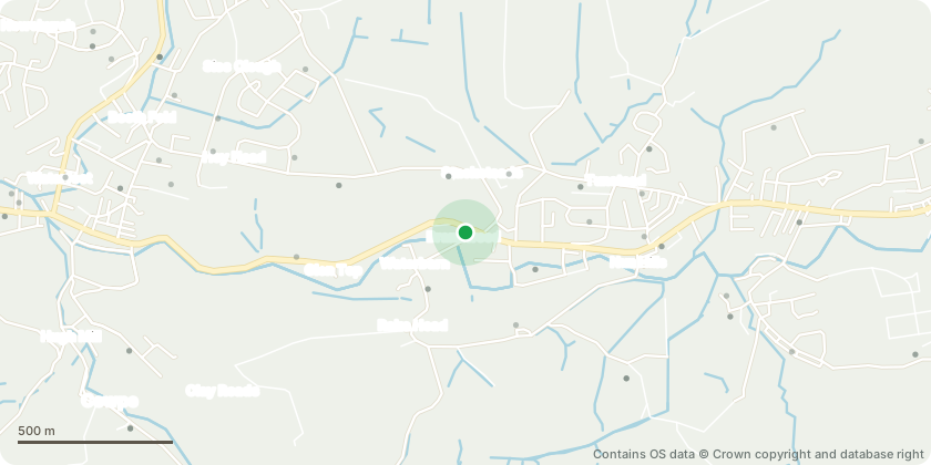
Approximate location - Contains OS data © Crown copyright and database right
Proposal
We wish to use this small unit as a multi-purpose space for the following activities;Storage and office useDance, yoga and fitness classesPersonal fitness instructionAerial arts and suspension classes, for example 'aerial hoop' class and lessonsPhotography studio and photography lessonsArtwork and painting classes and lessonsPrivate hire of the space to people and other organisations, for example potential private hire to groups like Slimming World to run their classes in.Development and manufacture of wax candles, including in-person and online sales of candles and related goods.Provision of soft drinks, coffee, tea and pre-packaged snacks to class clientele. No food preparation to be involved.This is a small business venture with anticipated turnover of ?2-3,000 per month. There is no machinery to be installed. Some small pieces of fitness equipment may be installed. there is no loud music equipment to be installed.Standard operating hours will be from 8am to 11pm depending on the type of event/class being run. We were informed by the business park owners that there is 24 hour access to the site.
Key dates
- Received 14 Aug 2025
- Validated 14 Aug 2025
- Started 14 Aug 2025
- Decided 6 Jan 2026
Planning history / related applications
No related planning applications have been identified in the current public OGL dataset.
Inside plotEdge
Go beyond the public record
This page is the public OGL record. plotEdge adds the private intelligence layer for this site - open it in the app to unlock:
- Ownership & title Registered owner and title from HM Land Registry.
- Viability & build potential Site scoring and development upside.
- Constraints Flood risk, green belt, conservation areas and designations.
- Approval signal Planning risk and approval-likelihood analysis.
- Comparable applications Decisions on similar nearby sites, side by side.
- Status alerts Get notified the moment this application changes.
Source: public planning application data from Rossendale, reused under the Open Government Licence v3.0. View the council source record. Council documents and drawings are not republished on plotEdge.