Rochford
Rochford/24/00858/TPO
91 Bull Lane, Rayleigh, Essex, SS6 8LZ
- Reference
- Rochford/24/00858/TPO
- Authority
- Rochford
- Application type
- Tree Preservation Order
- Address
- 91 Bull Lane, Rayleigh, Essex, SS6 8LZ
- Postcode
- SS6 8LZ
- Status
- Application Withdrawn
- Decision
- Application Withdrawn
- Received
- 4 Dec 2024
- Started
- 4 Dec 2024
- Source council
- Rochford
- Council source record
- View public record
- Public data licence
- Open Government Licence v3.0
- Record updated
- 18 Jul 2026
- SEO index generated
- 24 Jul 2026
Location
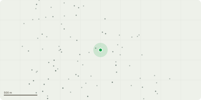
Approximate location
Proposal
English Oak - Fell Tree to Ground Level (30D- Within 30 days)? Grind Stump (30D - Within 30days)Trunk - Major trunk decay - Sounding with a softfaced rubber mallet reveals tonal differences on allaxes from ground level up to 2m, indicative of internaldecay. Trunk - Trunk cavity - Open cavity on northwest fromground level up to 20cm in height and width exposesa hollow central stem. Sounding with a soft facedrubber mallet reveals tonal differences on all axesfrom ground level up to 2m, indicative of internaldecay. The exposed fibres of the residual wall on thestem are evidenced with a white rot and frass ispresent, indicative of invertebrate activity. Trunk - Bark Delamination - Large areas of bark lossand white rot of the exposed wood fibres is present. Aprobe was inserted horizontally to a maximum depthof 5cm, where it met resistance.
Key dates
- Received 4 Dec 2024
- Started 4 Dec 2024
Planning history / related applications
No related planning applications have been identified in the current public OGL dataset.
Inside plotEdge
Go beyond the public record
This page is the public OGL record. plotEdge adds the private intelligence layer for this site - open it in the app to unlock:
- Ownership & title Registered owner and title from HM Land Registry.
- Viability & build potential Site scoring and development upside.
- Constraints Flood risk, green belt, conservation areas and designations.
- Approval signal Planning risk and approval-likelihood analysis.
- Comparable applications Decisions on similar nearby sites, side by side.
- Status alerts Get notified the moment this application changes.
Source: public planning application data from Rochford, reused under the Open Government Licence v3.0. View the council source record. Council documents and drawings are not republished on plotEdge.