Richmond upon Thames
Richmond upon Thames/PA26/2252
42, Ailsa Road, Twickenham, TW1 1QW
- Reference
- Richmond upon Thames/PA26/2252
- Authority
- Richmond upon Thames
- Application type
- Works to Tree/s in Conservation Area
- Address
- 42, Ailsa Road, Twickenham, TW1 1QW
- Postcode
- TW1 1QW
- Status
- Recommendation under review
- Received
- 29 Jun 2026
- Validated
- 3 Jul 2026
- Started
- 3 Jul 2026
- Source council
- Richmond upon Thames
- Council source record
- View public record
- Public data licence
- Open Government Licence v3.0
- Record updated
- 14 Jul 2026
- SEO index generated
- 24 Jul 2026
Location
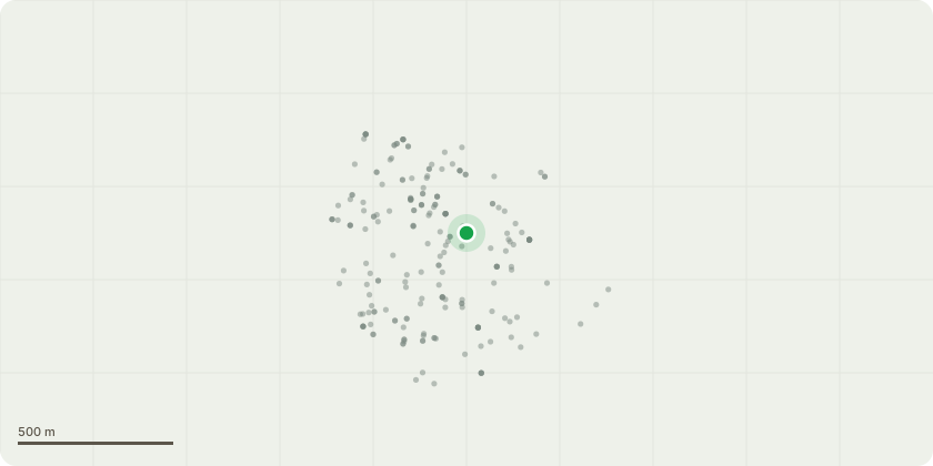
Approximate location
Proposal
Leyland cypress: Fell and remove stump. Circled in Red - at the back of the property. There is no tree preservation order. The tree in question is a Leyland cypress which is approximately 17 metres in height and growing. It has a stem diameter of 580mm (measures at 1.6metres in height). The tree is located on my northern boundary and along the boundary wall of number 44 Ailsa Road as shown on the site plan attached. I have already applied to fell and remove the other Leyland cypress and now feel that this one may cause damage as well - it is currently pulling up the wooden boarder and likely to be better to take both trees down at the same time to avoid disruption. They are close together so likely to affect each other. If the tree is allowed to grow to maturity, it may grow to excess of 30metres in height and achieve a 1000mm stem diameter. There are no prominent features, it is no native to the UK and necessarily adding to the value of the local area. The loss would have no impact on the area as we back on to the St Margarets Pleasure Grounds where there are many large and beautiful trees exists so the loss of this tree would have no adverse impact on the local area.
Key dates
- Received 29 Jun 2026
- Validated 3 Jul 2026
- Started 3 Jul 2026
Planning history / related applications
No related planning applications have been identified in the current public OGL dataset.
Inside plotEdge
Go beyond the public record
This page is the public OGL record. plotEdge adds the private intelligence layer for this site - open it in the app to unlock:
- Ownership & title Registered owner and title from HM Land Registry.
- Viability & build potential Site scoring and development upside.
- Constraints Flood risk, green belt, conservation areas and designations.
- Approval signal Planning risk and approval-likelihood analysis.
- Comparable applications Decisions on similar nearby sites, side by side.
- Status alerts Get notified the moment this application changes.
Source: public planning application data from Richmond upon Thames, reused under the Open Government Licence v3.0. View the council source record. Council documents and drawings are not republished on plotEdge.