Richmond upon Thames
Richmond upon Thames/PA26/2154
6, Ham Farm Road, Ham, Richmond, TW10 5LZ
- Reference
- Richmond upon Thames/PA26/2154
- Authority
- Richmond upon Thames
- Application type
- Works to Tree/s in Conservation Area
- Address
- 6, Ham Farm Road, Ham, Richmond, TW10 5LZ
- Postcode
- TW10 5LZ
- Status
- Recommendation under review
- Received
- 18 Jun 2026
- Validated
- 18 Jun 2026
- Started
- 18 Jun 2026
- Source council
- Richmond upon Thames
- Council source record
- View public record
- Public data licence
- Open Government Licence v3.0
- Record updated
- 14 Jul 2026
- SEO index generated
- 24 Jul 2026
Location
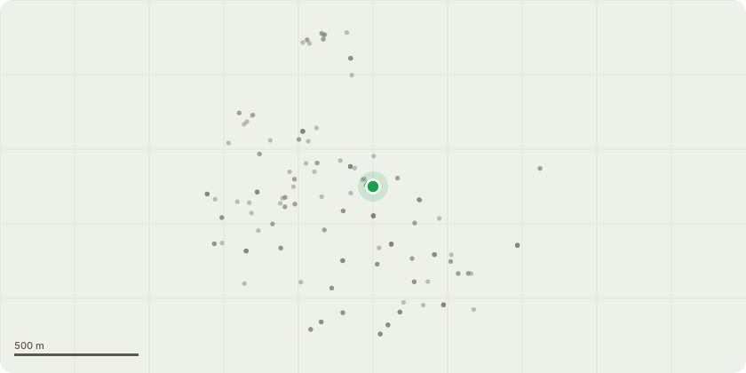
Approximate location
Proposal
There are 2 separate tree cut backs requested 1. Cut back to boundary of 8 Ham Farm Road the branches that overhang the property into 6 Ham Farm Road by 2.5 metres . Reason damaging the exterior façade and glass of 6 Ham Farm Road. Tree Species, Strawberry tree and Beech tree. The overhanging branches are off shoots and multi stems from the main tree. As shown in photo provided and circled blue. 2 Prune 2 lower branches of Oak tree in 8 Ham Farm Road. This tree was previously pollarded at the application of Beechrow, due to damaging garages. It is now growing into 6 Ham Farm Road lower than previously and directly into/onto the main roof. A TPO was requested in 2014 on this tree but refused by the planning officer. The oak tree was judged by LBRuT as of limited visual amenity and in poor condition. The pruning work to the oak tree would be carried out by a qualified arborist/ tree surgeon. Discussions with the owner of 8 Ham Farm Road are needed for permission to access the property to remove two branches growing into the roof or onto the roof. No work is to be carried out in nesting season.
Key dates
- Received 18 Jun 2026
- Validated 18 Jun 2026
- Started 18 Jun 2026
Planning history / related applications
No related planning applications have been identified in the current public OGL dataset.
Inside plotEdge
Go beyond the public record
This page is the public OGL record. plotEdge adds the private intelligence layer for this site - open it in the app to unlock:
- Ownership & title Registered owner and title from HM Land Registry.
- Viability & build potential Site scoring and development upside.
- Constraints Flood risk, green belt, conservation areas and designations.
- Approval signal Planning risk and approval-likelihood analysis.
- Comparable applications Decisions on similar nearby sites, side by side.
- Status alerts Get notified the moment this application changes.
Source: public planning application data from Richmond upon Thames, reused under the Open Government Licence v3.0. View the council source record. Council documents and drawings are not republished on plotEdge.