Richmond upon Thames
Richmond upon Thames/PA26/1762
Hampton Court Palace, Hampton Court Road, Hampton
- Reference
- Richmond upon Thames/PA26/1762
- Authority
- Richmond upon Thames
- Application type
- Works to Tree/s in Conservation Area
- Address
- Hampton Court Palace, Hampton Court Road, Hampton
- Status
- Decided
- Decision
- Raise No objection
- Received
- 20 May 2026
- Validated
- 20 May 2026
- Started
- 20 May 2026
- Decided
- 25 Jun 2026
- Source council
- Richmond upon Thames
- Council source record
- View public record
- Public data licence
- Open Government Licence v3.0
- Record updated
- 14 Jul 2026
- SEO index generated
- 24 Jul 2026
Location
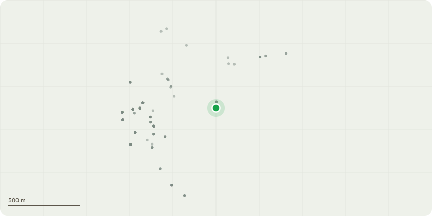
Approximate location
Proposal
5320 - Acer pseudoplatanus - 3m full crown reduction 14756 - Tillia x europaea - 15m reduction to mitigate forces on decayed base and enable retention for habitat. Reduce S aspect below final high by c. 5m to keep general form. Use coronet and rip cuts to increase habitat value. 22493 - Aesculus hippocastanum - reduce hight by c. 8m to reduce likelihood of further catastrophic failure of the main stem. final hight should br c. 3m above recent failure. reduce extended southern limbs by upto 4m to reduce lever movement on branch junctions. 17096 - Aesculus hippocastanum - 3m full crown reduction to reduce lever arm effects and forces on decayed scaffold structure 53204 - Aesculus hippocastanum - Reduce low phototrophic limbs to W by 3m, reduce lateral spread of remaining canopy by 2m to reduce lever arm effects, lift over workshop by 3m to provide access for scaffolding 60300 - Populus spp. - Monolith tree at 5m and retain for habitat 60396 - Aesculus hippocastanum - 3m full crown reduction to reduce loading on decayed main stem and lessen likelihood of catastrophic failure 60440 - Tilia x europaea - Reduce in height by c. 6m to a final height of c. 9m to mitigate likelihood of major stem failure. Onward management as a pollard
Key dates
- Received 20 May 2026
- Validated 20 May 2026
- Started 20 May 2026
- Decided 25 Jun 2026
Planning history / related applications
No related planning applications have been identified in the current public OGL dataset.
Inside plotEdge
Go beyond the public record
This page is the public OGL record. plotEdge adds the private intelligence layer for this site - open it in the app to unlock:
- Ownership & title Registered owner and title from HM Land Registry.
- Viability & build potential Site scoring and development upside.
- Constraints Flood risk, green belt, conservation areas and designations.
- Approval signal Planning risk and approval-likelihood analysis.
- Comparable applications Decisions on similar nearby sites, side by side.
- Status alerts Get notified the moment this application changes.
Source: public planning application data from Richmond upon Thames, reused under the Open Government Licence v3.0. View the council source record. Council documents and drawings are not republished on plotEdge.