Richmond upon Thames
Richmond upon Thames/PA26/1618
100 Church Road, Richmond, Surrey, Tw10 6lw
- Reference
- Richmond upon Thames/PA26/1618
- Authority
- Richmond upon Thames
- Application type
- Works to Trees Under TPO
- Address
- 100 Church Road, Richmond, Surrey, Tw10 6lw
- Postcode
- TW10 6LW
- Status
- Decided
- Decision
- Granted Permission
- Received
- 11 May 2026
- Validated
- 11 May 2026
- Started
- 11 May 2026
- Decided
- 23 Jun 2026
- Source council
- Richmond upon Thames
- Council source record
- View public record
- Public data licence
- Open Government Licence v3.0
- Record updated
- 14 Jul 2026
- SEO index generated
- 24 Jul 2026
Location
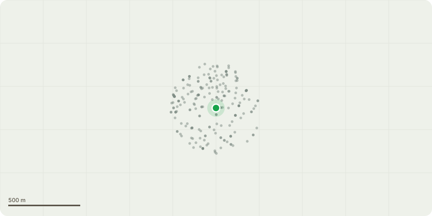
Approximate location
Proposal
T1. London Plane Location: Rear Garden of 100 Church Road: The lowest north-facing branch is to be reduced back to its original pruning point (2m) both branches are less than 10cm in diameter. This work is intended to reduce excessive overhang towards 12 Kingswood Court and to help mitigate bird fouling affecting the patio area beneath the tree. The proposed pruning forms part of an ongoing management approach to alleviating this issue. In addition, a further non-invasive bird deterrent will be installed to assist in reducing bird activity in the affected area. All works will be carried out in accordance with recognised arboricultural best practice. (Tree owner’s permission will be obtained before any climbing access) The tree's current height is 21m, and its crown spread is 14m After the proposed works, the tree's height is 21m, and the crown spread is 14m *****See attached Picture*****
Key dates
- Received 11 May 2026
- Validated 11 May 2026
- Started 11 May 2026
- Decided 23 Jun 2026
Planning history / related applications
No related planning applications have been identified in the current public OGL dataset.
Inside plotEdge
Go beyond the public record
This page is the public OGL record. plotEdge adds the private intelligence layer for this site - open it in the app to unlock:
- Ownership & title Registered owner and title from HM Land Registry.
- Viability & build potential Site scoring and development upside.
- Constraints Flood risk, green belt, conservation areas and designations.
- Approval signal Planning risk and approval-likelihood analysis.
- Comparable applications Decisions on similar nearby sites, side by side.
- Status alerts Get notified the moment this application changes.
Source: public planning application data from Richmond upon Thames, reused under the Open Government Licence v3.0. View the council source record. Council documents and drawings are not republished on plotEdge.