Richmond upon Thames
Richmond upon Thames/PA26/1344
Hampton Football Club, Station Road, Hampton, TW12 2BX
- Reference
- Richmond upon Thames/PA26/1344
- Authority
- Richmond upon Thames
- Application type
- Works to Tree/s in Conservation Area
- Address
- Hampton Football Club, Station Road, Hampton, TW12 2BX
- Postcode
- TW12 2BX
- Status
- Decided
- Decision
- Raise No objection
- Received
- 17 Apr 2026
- Validated
- 17 Apr 2026
- Started
- 17 Apr 2026
- Decided
- 15 May 2026
- Source council
- Richmond upon Thames
- Council source record
- View public record
- Public data licence
- Open Government Licence v3.0
- Record updated
- 14 Jul 2026
- SEO index generated
- 24 Jul 2026
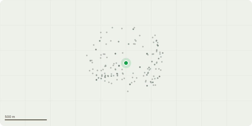
Location
Approximate location
Proposal
T1- X2 Ash trees leaning from adjacent woodland and threatening bar in North West corner. ADB present, Ivy clad. Section fell close to ground level and stack timber in woods T2- X1 Oak tree, reduce back branches overhanging score board by 3 metres to clear obstruction. T3- X1 Oak tree, reduce back by 3 metres to minimise the overhang of the pitch. T4- X1 Ash tree, reduce back by 3 metres to minimise the overhang of the pitch. T5- X1 Ash tree, Ivy Clad mess, cut back to boundary fence to minimise debris dropping on spectators. T6- X1 Oak tree, pocket of decay at the base. Reduce branches by 2m that impede new floodlight. T7- X1 Oak tree, previously had the lower canopy reduced. Reduce Upper canopy by 2.5m to balance and mitigate limb failure over spectators. T8- X1 Oak tree, reduce branches by 2m that impede new floodlight. T9- Lime tree, located in centre of car park, significant column of decay running down the main stem at approx 5m with unidentified FFB. Section fell to ground level & grind out stump.
Key dates
- Received 17 Apr 2026
- Validated 17 Apr 2026
- Started 17 Apr 2026
- Decided 15 May 2026
Planning history / related applications
No related planning applications have been identified in the current public OGL dataset.
Inside plotEdge
Go beyond the public record
This page is the public OGL record. plotEdge adds the private intelligence layer for this site - open it in the app to unlock:
- Ownership & title Registered owner and title from HM Land Registry.
- Viability & build potential Site scoring and development upside.
- Constraints Flood risk, green belt, conservation areas and designations.
- Approval signal Planning risk and approval-likelihood analysis.
- Comparable applications Decisions on similar nearby sites, side by side.
- Status alerts Get notified the moment this application changes.
Source: public planning application data from Richmond upon Thames, reused under the Open Government Licence v3.0. View the council source record. Council documents and drawings are not republished on plotEdge.