Richmond upon Thames
Richmond upon Thames/PA26/1315
51, Mount Ararat Road, Richmond, TW10 6PL
- Reference
- Richmond upon Thames/PA26/1315
- Authority
- Richmond upon Thames
- Application type
- Works to Tree/s in Conservation Area
- Address
- 51, Mount Ararat Road, Richmond, TW10 6PL
- Postcode
- TW10 6PL
- Status
- Decided
- Decision
- Raise No objection
- Received
- 15 Apr 2026
- Validated
- 15 Apr 2026
- Started
- 15 Apr 2026
- Decided
- 13 May 2026
- Source council
- Richmond upon Thames
- Council source record
- View public record
- Public data licence
- Open Government Licence v3.0
- Record updated
- 14 Jul 2026
- SEO index generated
- 24 Jul 2026
Location
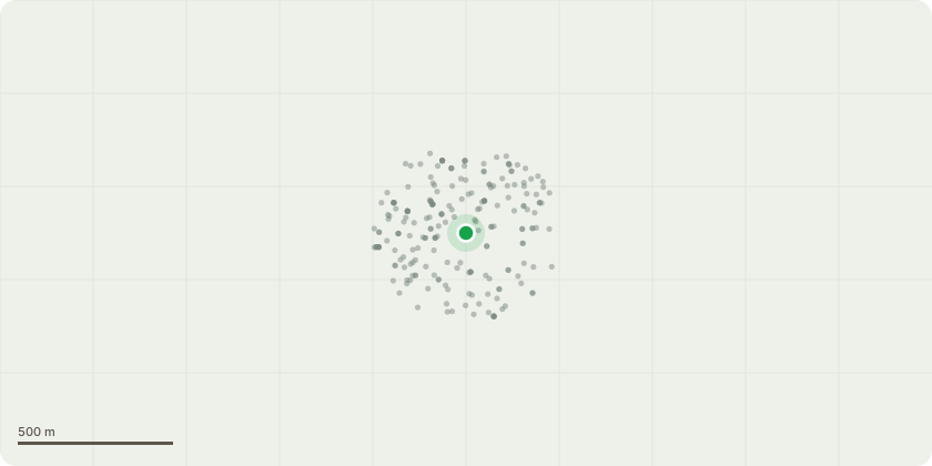
Approximate location
Proposal
The details of the tree marked as Cherry Tree No. 1 on the plans which we are planning on removing are the following: - Type - the tree is an established white flowering cherry tree. - Size the main trunk of the tree is approximately 40cm across with the top branches reaching to a height of about 20ft with a span of 12 ft. - Location - the tree is located 12ft from the front door of the property to the left had side as you look from the road, it is1ft from the party wall with the neighbouring property No. 53, Mt Ararat Road. The reason for removal of the tree is: - There is a pre-existing cherry tree, Cherry Tree No. 2 on the plans, that Cherry Tree No. 1 is competing with and they are in close proximity. - Cherry Tree No. 1 is too close to the house and as it has grown in size the root system represents a potential danger to the property foundations. When removing some plants, a root of approximately 10-15cm in diameter was found 4ft from the front door of the property that extends toward the house itself.
Key dates
- Received 15 Apr 2026
- Validated 15 Apr 2026
- Started 15 Apr 2026
- Decided 13 May 2026
Planning history / related applications
No related planning applications have been identified in the current public OGL dataset.
Inside plotEdge
Go beyond the public record
This page is the public OGL record. plotEdge adds the private intelligence layer for this site - open it in the app to unlock:
- Ownership & title Registered owner and title from HM Land Registry.
- Viability & build potential Site scoring and development upside.
- Constraints Flood risk, green belt, conservation areas and designations.
- Approval signal Planning risk and approval-likelihood analysis.
- Comparable applications Decisions on similar nearby sites, side by side.
- Status alerts Get notified the moment this application changes.
Source: public planning application data from Richmond upon Thames, reused under the Open Government Licence v3.0. View the council source record. Council documents and drawings are not republished on plotEdge.