Richmond upon Thames
Richmond upon Thames/PA26/1199
The Hazel bush in question is in the corner of the north and east walls of the memorial garden of St Mary's Church
- Reference
- Richmond upon Thames/PA26/1199
- Authority
- Richmond upon Thames
- Application type
- Works to Tree/s in Conservation Area
- Address
- The Hazel bush in question is in the corner of the north and east walls of the memorial garden of St Mary's Church
- Postcode
- TW1 3DT
- Status
- Decided
- Decision
- Raise No objection
- Received
- 7 Apr 2026
- Validated
- 7 Apr 2026
- Started
- 7 Apr 2026
- Decided
- 13 May 2026
- Source council
- Richmond upon Thames
- Council source record
- View public record
- Public data licence
- Open Government Licence v3.0
- Record updated
- 18 Jul 2026
- SEO index generated
- 24 Jul 2026
Location
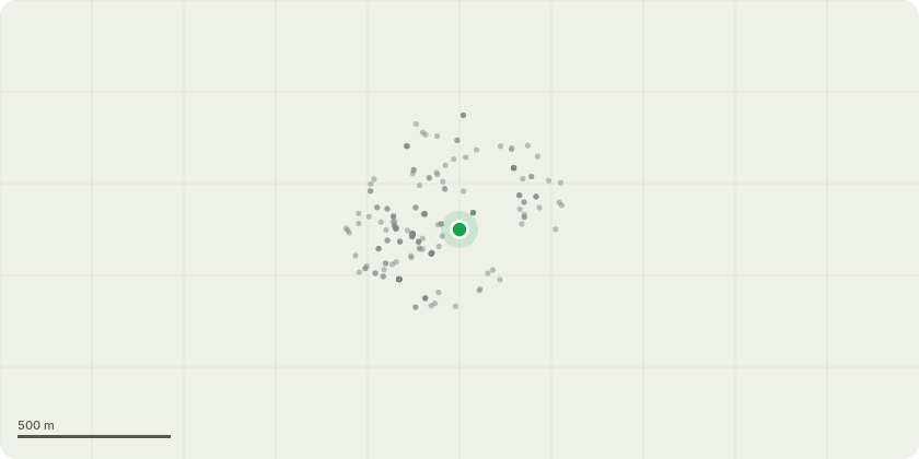
Approximate location
Proposal
The Parochial Church Council is proposing to remove a large multi-stemmed Purple Hazel shrub, shown as T08 on the attached Site Plan 'St Mary's Church Existing Site Plan and Tree Constraints' and described in the attached schedule. We are proposing to remove this Hazel to increase the size of the memorial beds in the Memorial garden of St Mary's. There is currently limited space for the burial of ashes of the deceased members of the community, and we are looking to extend the beds along the North and East walls. The Hazel would be replaced with different planting, more suitable for the memorial beds, similar to the existing planting, namely rose bushes, small shrubs and bulbs. The Hazel has become too large and only recently exposed when work was done to remove the items in the garden which were being used by rough sleepers. It would also greatly improve surveillance of the garden beds in this area. We believe the new layout in the garden will be much more accessible and appreciated by all.
Key dates
- Received 7 Apr 2026
- Validated 7 Apr 2026
- Started 7 Apr 2026
- Decided 13 May 2026
Planning history / related applications
No related planning applications have been identified in the current public OGL dataset.
Inside plotEdge
Go beyond the public record
This page is the public OGL record. plotEdge adds the private intelligence layer for this site - open it in the app to unlock:
- Ownership & title Registered owner and title from HM Land Registry.
- Viability & build potential Site scoring and development upside.
- Constraints Flood risk, green belt, conservation areas and designations.
- Approval signal Planning risk and approval-likelihood analysis.
- Comparable applications Decisions on similar nearby sites, side by side.
- Status alerts Get notified the moment this application changes.
Source: public planning application data from Richmond upon Thames, reused under the Open Government Licence v3.0. View the council source record. Council documents and drawings are not republished on plotEdge.