Richmond upon Thames
Richmond upon Thames/PA26/0867
1, Hogarth Way, Hampton, TW12 2EL
- Reference
- Richmond upon Thames/PA26/0867
- Authority
- Richmond upon Thames
- Application type
- Works to Trees Under TPO
- Address
- 1, Hogarth Way, Hampton, TW12 2EL
- Postcode
- TW12 2EL
- Status
- Decided
- Decision
- Granted Permission
- Received
- 11 Mar 2026
- Validated
- 11 Mar 2026
- Started
- 11 Mar 2026
- Decided
- 29 Apr 2026
- Source council
- Richmond upon Thames
- Council source record
- View public record
- Public data licence
- Open Government Licence v3.0
- Record updated
- 18 Jul 2026
- SEO index generated
- 24 Jul 2026
Location
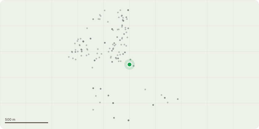
Approximate location
Proposal
T2. Sycamore See Map: Pollarded at 4m in phase 1, but unfortunately has failed, most likely due to disease/drought. To maintain a stable structure/habitat, reduce it to the level of the top of the wall. The tree's current height is 3.5m, and its crown spread is 1m. After the proposed works, the tree's height is 1.5m, and the crown spread is 1m. T4. Weeping Willow See Map: The low dead limb has died and could potentially fail. Reduce back low dead stems to within 1m of the main trunk. The tree's current height is 9.5m, and its crown spread is 7m. After the proposed works, the tree's height is 9.5m, and the crown spread is 7m. T18. False Acacia See Map: The tree was noted on my first site Inspection/survey, that it has an eastern lower trunk lean of around 30 per cent up to approx. 3m, where it corrects itself, which indicates that the initial lean was the consequence of a previous storm. During my recent visit to inspect the previous works carried out on the other selected trees, I noticed that the root plate heave had changed in size and also showed significant soil cracking, indicating that there has been some movement. Based on the hard evidence, I will strongly recommend that the tree be pollarded to a height of 5m or to the main fork, to help mitigate the risk of tree failure. The tree's current height is 16.5m, and its crown spread is 7m. After the proposed works, the tree's height is 5m, and the crown spread is 1.5m. T20. European Lime See Map: Remove dead and broken branches throughout the crown area that are over 2.5cm in diameter, and inspect the crown for any adversities. The tree's current height is 17.5m, and its crown spread is 7m. After the proposed works, the tree's height is 17.5m, and the crown spread is 7m. T21. Tulip Tree See Map: Remove dead branches throughout the crown area that are over 2.5cm in diameter, and inspect the crown for any adversities. The tree's current height is 18.5m, and its crown spread is 7m. After the proposed works, the tree's height is 18.5m, and the crown spread is 7m. T22. Horse Chestnut See Map: Remove dead branches throughout the crown area that are over 2.5cm in diameter, and inspect the crown for any adversities. The tree's current height is 22.5m, and its crown spread is 11m. After the proposed works, the tree's height is 22.5m, and the crown spread is 11m. T23. Yew Tree See Map: Reduce branches encroaching on the building to give a 3m clearance. The tree's current height is 12.5m, and its crown spread is 7m. After the proposed works, the tree's height is 12.5m, and the crown spread is 7m.
Key dates
- Received 11 Mar 2026
- Validated 11 Mar 2026
- Started 11 Mar 2026
- Decided 29 Apr 2026
Planning history / related applications
No related planning applications have been identified in the current public OGL dataset.
Inside plotEdge
Go beyond the public record
This page is the public OGL record. plotEdge adds the private intelligence layer for this site - open it in the app to unlock:
- Ownership & title Registered owner and title from HM Land Registry.
- Viability & build potential Site scoring and development upside.
- Constraints Flood risk, green belt, conservation areas and designations.
- Approval signal Planning risk and approval-likelihood analysis.
- Comparable applications Decisions on similar nearby sites, side by side.
- Status alerts Get notified the moment this application changes.
Source: public planning application data from Richmond upon Thames, reused under the Open Government Licence v3.0. View the council source record. Council documents and drawings are not republished on plotEdge.