Richmond upon Thames
Richmond upon Thames/PA26/0653
Ham House, Ham Street, Ham, Richmond, TW10 7RS
- Reference
- Richmond upon Thames/PA26/0653
- Authority
- Richmond upon Thames
- Application type
- Works to Tree/s in Conservation Area
- Address
- Ham House, Ham Street, Ham, Richmond, TW10 7RS
- Postcode
- TW10 7RS
- Status
- Decided
- Decision
- Raise No objection
- Received
- 25 Feb 2026
- Validated
- 25 Feb 2026
- Started
- 25 Feb 2026
- Decided
- 25 Mar 2026
- Source council
- Richmond upon Thames
- Council source record
- View public record
- Public data licence
- Open Government Licence v3.0
- Record updated
- 18 Jul 2026
- SEO index generated
- 24 Jul 2026
Location
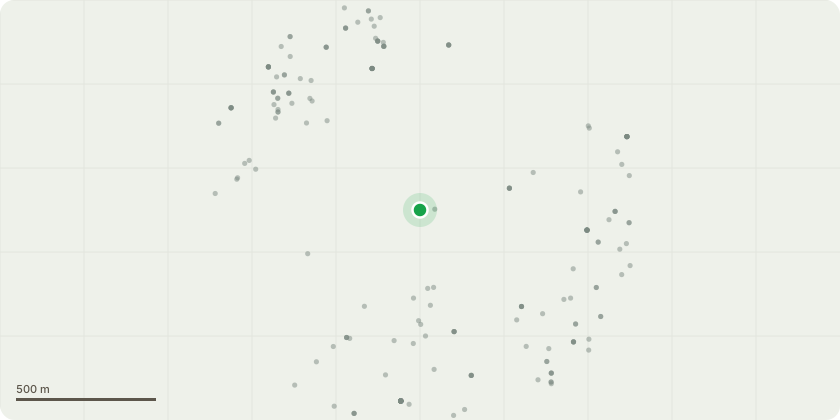
Approximate location
Proposal
Trees located at Ham House & Gardens: T1-False Acacia x2 0902 and 0903 North Terrace by bike racks. Reduce in height and width by approx 2-3 metres to mitigate included unions and high footfall location. Current height 14m, final height 12m, current spread of both trees as a pair 20m, final spread 16m. T2-Lime 0895 - 1st lime on North Terrace East, closest to the main gate. Reduce height by 2-3 metres and prune any over extended laterals back in line with canopy to mitigate included union. Current height 22m, final height 20m. Current spread 12m, final spread 10m. T3-Dismantle Lime tree to GL & grind out stump due to significant canopy decline caused by Honey fungus. T4-Reduce mature Holm Oak tree in far left corner of kitchen garden back to previous points, approx 2m of regrowth to mitigate stress fractures on the larger boughs which was the purpose of the reduction originally. MEWP required. Current height 22m, final height 20m, current spread 22m, final spread 16m. T5-Sweet Chestnut tree, showing early stages of decline, reduce height by 3m. Current height 18m, final height 15m, reduce spread by 2m, current spread 10m, final spread 6. Purpose to manage its decline in a high footfall area.
Key dates
- Received 25 Feb 2026
- Validated 25 Feb 2026
- Started 25 Feb 2026
- Decided 25 Mar 2026
Planning history / related applications
No related planning applications have been identified in the current public OGL dataset.
Inside plotEdge
Go beyond the public record
This page is the public OGL record. plotEdge adds the private intelligence layer for this site - open it in the app to unlock:
- Ownership & title Registered owner and title from HM Land Registry.
- Viability & build potential Site scoring and development upside.
- Constraints Flood risk, green belt, conservation areas and designations.
- Approval signal Planning risk and approval-likelihood analysis.
- Comparable applications Decisions on similar nearby sites, side by side.
- Status alerts Get notified the moment this application changes.
Source: public planning application data from Richmond upon Thames, reused under the Open Government Licence v3.0. View the council source record. Council documents and drawings are not republished on plotEdge.