Richmond upon Thames
Richmond upon Thames/PA26/0600
147, Gloucester Court, Kew Road, Kew, Richmond, TW9 3DY
- Reference
- Richmond upon Thames/PA26/0600
- Authority
- Richmond upon Thames
- Application type
- Works to Tree/s in Conservation Area
- Address
- 147, Gloucester Court, Kew Road, Kew, Richmond, TW9 3DY
- Postcode
- TW9 3DY
- Status
- Decided
- Decision
- Raise No objection
- Received
- 23 Feb 2026
- Validated
- 23 Feb 2026
- Started
- 23 Feb 2026
- Decided
- 25 Mar 2026
- Source council
- Richmond upon Thames
- Council source record
- View public record
- Public data licence
- Open Government Licence v3.0
- Record updated
- 18 Jul 2026
- SEO index generated
- 24 Jul 2026
Location
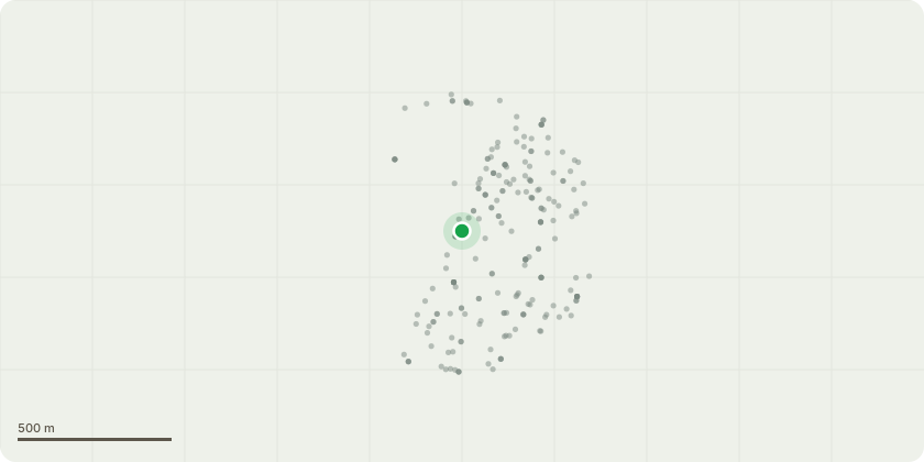
Approximate location
Proposal
As per tree report: T13 Lime map Action 1@: remove basal and epicormic growth. T15 Monkey Puzzle map Crown lift all round to 2.5m remove deadwood T16 Lawson Cypress map Remove dead wood. T19 Norway Maple map Action 1. Remove basal growth. T20 Paperbark Cherry map Remove deadwood. T22 Cherry Plum map Reduce back to previous reduction points T23 Cherry Plum map Reduce back to previous reduction points. T24 Cherry Plum map Reduce back to previous reduction points. T25 Lawson Cypress map Crown lift to 2.5m T26 Lime map Reduce back to previous reduction points. T27 Robina map Action 1 Remove basal growth, prune to clear from building by 3m. T28 Lawson Cypress map Crown lift to 2.5m T29 Lawson Cypress map Crown lift to 2.5m T34 black Poplar map Remove basal growth. T35 Robina map Remove basal growth and deadwood. T37 Cherry Plum map Reduce back to previous reduction points. T50 Oak map see spec on tree report G3 Mixed shrubs map see spec on tree report G4 Damson map Reduce and reshape by 4m. T54 Sycamore map see spec on tree report. Action1. T56 Sycamore map see spec on tree report T61 Olive map see spec on tree report T62 Sycamore map see spec on tree report. Action1. T66 Rowan map see spec on tree report T68 Portugese Laurel map see spec on tree report
Key dates
- Received 23 Feb 2026
- Validated 23 Feb 2026
- Started 23 Feb 2026
- Decided 25 Mar 2026
Planning history / related applications
No related planning applications have been identified in the current public OGL dataset.
Inside plotEdge
Go beyond the public record
This page is the public OGL record. plotEdge adds the private intelligence layer for this site - open it in the app to unlock:
- Ownership & title Registered owner and title from HM Land Registry.
- Viability & build potential Site scoring and development upside.
- Constraints Flood risk, green belt, conservation areas and designations.
- Approval signal Planning risk and approval-likelihood analysis.
- Comparable applications Decisions on similar nearby sites, side by side.
- Status alerts Get notified the moment this application changes.
Source: public planning application data from Richmond upon Thames, reused under the Open Government Licence v3.0. View the council source record. Council documents and drawings are not republished on plotEdge.