Richmond upon Thames
Richmond upon Thames/PA26/0524
106, Ground Floor Flat, Church Road, Richmond, TW10 6LW
- Reference
- Richmond upon Thames/PA26/0524
- Authority
- Richmond upon Thames
- Application type
- Works to Tree/s in Conservation Area
- Address
- 106, Ground Floor Flat, Church Road, Richmond, TW10 6LW
- Postcode
- TW10 6LW
- Status
- Decided
- Decision
- Raise No objection
- Received
- 17 Feb 2026
- Validated
- 17 Feb 2026
- Started
- 17 Feb 2026
- Decided
- 1 Apr 2026
- Source council
- Richmond upon Thames
- Council source record
- View public record
- Public data licence
- Open Government Licence v3.0
- Record updated
- 18 Jul 2026
- SEO index generated
- 24 Jul 2026
Location
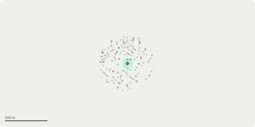
Approximate location
Proposal
Tree Species & Numbers (as shown on sketch plan) T1 – Mature Lime (Tilia × europaea) Located at the rear boundary. Previously pollarded with established knuckle formation visible. T2 – Semi-mature Lime (Tilia × europaea) Situated adjacent to T1. Previously managed via pollarding with defined regrowth points. T3 – Apple (Malus domestica) Garden fruit tree showing historic pollard/reduction points with dense upper crown regrowth. Description of Proposed Works T1, T2, and T3: Pollard all three trees back to their previous pollard points, removing approximately 2–4 metres of current season and secondary regrowth (final cuts to suitable growth points). Works are proposed to: Maintain trees at a sustainable size for the garden setting Reduce end-weight and sail effect Manage crown density Minimise risk of branch failure Promote structured regenerative growth from established pollard heads All works will be carried out in accordance with BS3998:2010 – Tree Work Recommendation The trees have historically been managed by pollarding and the proposed works represent cyclical maintenance rather than a change in arboricultural practice.
Key dates
- Received 17 Feb 2026
- Validated 17 Feb 2026
- Started 17 Feb 2026
- Decided 1 Apr 2026
Planning history / related applications
No related planning applications have been identified in the current public OGL dataset.
Inside plotEdge
Go beyond the public record
This page is the public OGL record. plotEdge adds the private intelligence layer for this site - open it in the app to unlock:
- Ownership & title Registered owner and title from HM Land Registry.
- Viability & build potential Site scoring and development upside.
- Constraints Flood risk, green belt, conservation areas and designations.
- Approval signal Planning risk and approval-likelihood analysis.
- Comparable applications Decisions on similar nearby sites, side by side.
- Status alerts Get notified the moment this application changes.
Source: public planning application data from Richmond upon Thames, reused under the Open Government Licence v3.0. View the council source record. Council documents and drawings are not republished on plotEdge.