Richmond upon Thames
Richmond upon Thames/PA26/0508
74 King Edwards Grove Teddington TW11 9LX
- Reference
- Richmond upon Thames/PA26/0508
- Authority
- Richmond upon Thames
- Application type
- Works to Tree/s in Conservation Area
- Address
- 74 King Edwards Grove Teddington TW11 9LX
- Postcode
- TW11 9LX
- Status
- Decided
- Decision
- Raise No objection
- Received
- 16 Feb 2026
- Validated
- 16 Feb 2026
- Started
- 16 Feb 2026
- Decided
- 25 Mar 2026
- Source council
- Richmond upon Thames
- Council source record
- View public record
- Public data licence
- Open Government Licence v3.0
- Record updated
- 18 Jul 2026
- SEO index generated
- 24 Jul 2026
Location
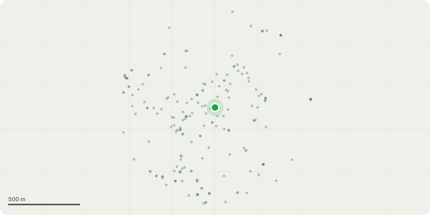
Approximate location
Proposal
T1. English Oak Rear Garden of 74: Observations: A structural defect is present at 12?m on the north-east facing elbow limb. Cavity at 8.5?m on the main stem resulting from historic branch loss. General crown condition suggests the need for careful management to encourage balanced future development. Reduce height and lateral spread by 3.5m, retaining good growth furnishings to support crown development. If required, thin the branch structure to help create an even balance. Raise the low canopy by the removal of 3 to 4 selected sub-lateral branches, allowing better light into gardens, minimising pruning wound sizes to prevent future complications. Remove dead branches over 2.5cm in diameter. Inspect the crown for adversities and advise if necessary. The tree's current height is 23m, and its crown spread is 19m After the proposed works, the tree's height is 20.5m, and the crown spread is 16.5m
Key dates
- Received 16 Feb 2026
- Validated 16 Feb 2026
- Started 16 Feb 2026
- Decided 25 Mar 2026
Planning history / related applications
No related planning applications have been identified in the current public OGL dataset.
Inside plotEdge
Go beyond the public record
This page is the public OGL record. plotEdge adds the private intelligence layer for this site - open it in the app to unlock:
- Ownership & title Registered owner and title from HM Land Registry.
- Viability & build potential Site scoring and development upside.
- Constraints Flood risk, green belt, conservation areas and designations.
- Approval signal Planning risk and approval-likelihood analysis.
- Comparable applications Decisions on similar nearby sites, side by side.
- Status alerts Get notified the moment this application changes.
Source: public planning application data from Richmond upon Thames, reused under the Open Government Licence v3.0. View the council source record. Council documents and drawings are not republished on plotEdge.