Richmond upon Thames
Richmond upon Thames/PA26/0111
The Russell Nursery School Meadlands Drive Petersham
- Reference
- Richmond upon Thames/PA26/0111
- Authority
- Richmond upon Thames
- Application type
- Works to Tree/s in Conservation Area
- Address
- The Russell Nursery School Meadlands Drive Petersham
- Status
- Decided
- Decision
- Raise No objection
- Received
- 13 Jan 2026
- Validated
- 13 Jan 2026
- Started
- 13 Jan 2026
- Decided
- 5 Mar 2026
- Source council
- Richmond upon Thames
- Council source record
- View public record
- Public data licence
- Open Government Licence v3.0
- Record updated
- 18 Jul 2026
- SEO index generated
- 24 Jul 2026
Location
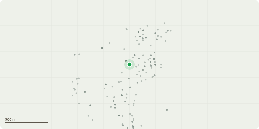
Approximate location
Proposal
T1 Norway Maple; Acer platanoides; Mature tree 18+M height Co dominant 'bowl shaped crown structure T2 Ash species, Mature tree large low lateral branches, evidence of past reductions The proposed works involve pruning each tree to achieve a minimum clearance of 5 metres between the crown and the new access. This will be accomplished by selective pruning from the outer edges of the crown towards the centre, ensuring that any branches overhanging the new access road will be clear of the ground by 5m cut back to an appropriate growth point or pruning point. This is to be inline with recommended HSE highway clearances . For T1, the overall height will remain at 18 metres. Lateral reduction of the crown over the proposed highway (see location plan) to achieve a clearance of 5m For T2, the overall height will remain at 18 metres. Lateral reduction of the crown over the proposed highway (see location plan) to achieve a clearance of 5m, One large branch will be removed to the main stem to achieve this. The branch in question can be seen in the provided photograph
Key dates
- Received 13 Jan 2026
- Validated 13 Jan 2026
- Started 13 Jan 2026
- Decided 5 Mar 2026
Planning history / related applications
No related planning applications have been identified in the current public OGL dataset.
Inside plotEdge
Go beyond the public record
This page is the public OGL record. plotEdge adds the private intelligence layer for this site - open it in the app to unlock:
- Ownership & title Registered owner and title from HM Land Registry.
- Viability & build potential Site scoring and development upside.
- Constraints Flood risk, green belt, conservation areas and designations.
- Approval signal Planning risk and approval-likelihood analysis.
- Comparable applications Decisions on similar nearby sites, side by side.
- Status alerts Get notified the moment this application changes.
Source: public planning application data from Richmond upon Thames, reused under the Open Government Licence v3.0. View the council source record. Council documents and drawings are not republished on plotEdge.