Richmond upon Thames
Richmond upon Thames/PA26/0055
Centre Of Pond 433m From Bungalow 2, 51 Laverstoke Gardens 181m From Unnamed Road, Unnamed Road - Richmond Park - Robin Hood Gate To Roehampton Gate, Richmond, Richmond Upon Thames, SW15 4JB
- Reference
- Richmond upon Thames/PA26/0055
- Authority
- Richmond upon Thames
- Application type
- Works to Tree/s in Conservation Area
- Address
- Centre Of Pond 433m From Bungalow 2, 51 Laverstoke Gardens 181m From Unnamed Road, Unnamed Road - Richmond Park - Robin Hood Gate To Roehampton Gate, Richmond, Richmond Upon Thames, SW15 4JB
- Postcode
- SW15 4JB
- Status
- Decided
- Decision
- Raise No objection
- Received
- 7 Jan 2026
- Validated
- 7 Jan 2026
- Started
- 7 Jan 2026
- Decided
- 13 Jan 2026
- Source council
- Richmond upon Thames
- Council source record
- View public record
- Public data licence
- Open Government Licence v3.0
- Record updated
- 18 Jul 2026
- SEO index generated
- 24 Jul 2026
Location
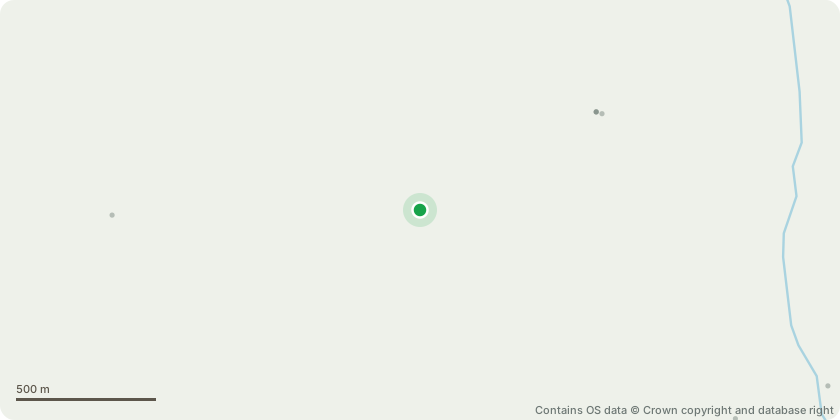
Approximate location - Contains OS data © Crown copyright and database right
Proposal
T7708. Oak Tree. Approximately 18 metres in height. Sever Ivy, clear base from foliage, clear access to tree so this will make it easier for the tree to maintain. Tree is situated by the bungalows on the grass area, on the boundary line. T7709. Hawthorn Tree. Approximately 9 metres in height. Tree is at a mature stage of constant growth at or close to ultimate canopy size, Sever Ivy and clear around base to make tree easier to assess. Situated next to T7708 on the boundary line. T7710. Malus Tree. Approximately 9/10 metres in height. Lift tree by 2/3 metres, tree is situated outside a residential property, so tree has become a massive disruption as long limbs are low growing, causing a lot of fallen debris. Clear building by 1 metre. leaving the tree from 8 metres in width to 7 metres with a lateral reduction. Tree is situated outside the house of 2 and 3. T7716. Oak Tree. Approx 12 metres in height. 7 metres in width. Clear lamp post by 1 metres, reduce roadside leader by 50% to allow more light from the lamp post, tree has become overgrown and reducing leaders will stop high vehicles from hitting them and the leaders are low growing. Pruning this tree will be beneficial for the trees health. Situated by the entrance along the boundary line. T7718. Lime Tree. 18 metres in height. Remove all deadwood, Lift to crown break, branches have become low growing and now disrupting the footpath. Situated on the green by the footpath upon entrance. T7722. Lime Tree. 17 metres in height. Remove all deadwood, lift to crown break, branches have become low growing and now disrupting the footpath. Situated on the other footpath in the middle of T7718 and T7723 on the green area. T7723. Lime Tree. 17 metres in height. Remove all deadwood, lift crown break, branches have become low growing and now disrupting the footpath, causing slight fallen debris on the conservatory next door. Situated by the path on the side of the flats on the boundary line.
Key dates
- Received 7 Jan 2026
- Validated 7 Jan 2026
- Started 7 Jan 2026
- Decided 13 Jan 2026
Planning history / related applications
No related planning applications have been identified in the current public OGL dataset.
Inside plotEdge
Go beyond the public record
This page is the public OGL record. plotEdge adds the private intelligence layer for this site - open it in the app to unlock:
- Ownership & title Registered owner and title from HM Land Registry.
- Viability & build potential Site scoring and development upside.
- Constraints Flood risk, green belt, conservation areas and designations.
- Approval signal Planning risk and approval-likelihood analysis.
- Comparable applications Decisions on similar nearby sites, side by side.
- Status alerts Get notified the moment this application changes.
Source: public planning application data from Richmond upon Thames, reused under the Open Government Licence v3.0. View the council source record. Council documents and drawings are not republished on plotEdge.