Richmond upon Thames
Richmond upon Thames/PA25/4604
12 Haverfield Gardens Kew Richmond TW9 3DD
- Reference
- Richmond upon Thames/PA25/4604
- Authority
- Richmond upon Thames
- Application type
- Works to Tree/s in Conservation Area
- Address
- 12 Haverfield Gardens Kew Richmond TW9 3DD
- Postcode
- TW9 3DD
- Status
- Decided
- Decision
- Raise No objection
- Received
- 29 Dec 2025
- Validated
- 5 Jan 2026
- Started
- 5 Jan 2026
- Decided
- 13 Jan 2026
- Source council
- Richmond upon Thames
- Council source record
- View public record
- Public data licence
- Open Government Licence v3.0
- Record updated
- 18 Jul 2026
- SEO index generated
- 24 Jul 2026
Location
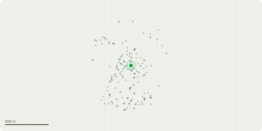
Approximate location
Proposal
Tree 1 - Apple tree in the rear garden. Request to prune the overall canopy. Current height - 7 meters Current Width - 5.5 meters Reduction requested - One meter reduction of all branches to reduce the tree to 6 meters in height and reduce the width to 4.5 meters Reasons for pruning - The tree is exceeding the width of garden and growing into neighbor's boundary and out grown the small rear garden which is 9 meters by 5.5 meters. When the tree is in full leaf, at it's current size it blocks natural light to the rear kitchen and upper rear bedroom. The tree has a hollow trunk and weight of the canopy could put the tree at risk of damage in high winds. The large annual growth of the tree means it require regular pruning to keep the size of the tree under control. Date for works - Late February, early March 2026 depending on the application approval date. Or February 2026 to coincide with the trees dormant period.
Key dates
- Received 29 Dec 2025
- Validated 5 Jan 2026
- Started 5 Jan 2026
- Decided 13 Jan 2026
Planning history / related applications
No related planning applications have been identified in the current public OGL dataset.
Inside plotEdge
Go beyond the public record
This page is the public OGL record. plotEdge adds the private intelligence layer for this site - open it in the app to unlock:
- Ownership & title Registered owner and title from HM Land Registry.
- Viability & build potential Site scoring and development upside.
- Constraints Flood risk, green belt, conservation areas and designations.
- Approval signal Planning risk and approval-likelihood analysis.
- Comparable applications Decisions on similar nearby sites, side by side.
- Status alerts Get notified the moment this application changes.
Source: public planning application data from Richmond upon Thames, reused under the Open Government Licence v3.0. View the council source record. Council documents and drawings are not republished on plotEdge.