Richmond upon Thames
Richmond upon Thames/PA25/4519
31 Castelnau Mansions Castelnau Barnes London SW13 9QU
- Reference
- Richmond upon Thames/PA25/4519
- Authority
- Richmond upon Thames
- Application type
- Works to Tree/s in Conservation Area
- Address
- 31 Castelnau Mansions Castelnau Barnes London SW13 9QU
- Postcode
- SW13 9QU
- Status
- Decided
- Decision
- Raise No objection
- Received
- 18 Dec 2025
- Validated
- 18 Dec 2025
- Started
- 18 Dec 2025
- Decided
- 21 Jan 2026
- Source council
- Richmond upon Thames
- Council source record
- View public record
- Public data licence
- Open Government Licence v3.0
- Record updated
- 18 Jul 2026
- SEO index generated
- 24 Jul 2026
Location
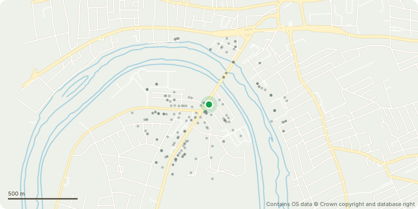
Approximate location - Contains OS data © Crown copyright and database right
Proposal
NOTH BLOCK FRONT AREA AF AF5-Lilac(Syringa)-shrub -light reduction to shape and tidy AF4-Cotoneaster(C.fridigus) -reduce crown by 25%(1.3m) to suitable growth points -thin by 15% to shape and tidy lateral branch spread RETAINED HT-2m RETAINED SPREAD-3m AF6-Elderberry(Sambucus nigra) -reduce all long stems by up to 1.75m to suitable growth both RETAINED HT-1.75m RETAINED SPREAD-1.5m AREA BF BF3-Fig(Ficus carica) -reduce crown by 30%(2m) ro suitable growth points -reduce lateral spread on both pavement side and with emphasis on inbound side of grass area -remove any crossing/suppressed branches RETAINED HT-2.75m RETAINED SPREAD-4.5m BF4-Norway Maple(Acer platanoides)-possibly diseased with dead N-facing section, bark shrinkage observed(drought damage) -reduce crown by 25% removing new growth back to previous points -remove N-facing possibly dead section limbs back to main trunks RETAINED HT-2.75m RETAINED SPREAD-3.5m AREA CF CF1-Cherry(Prunus) -light 25%(1m) crown reduction to shape and tidy RETAINED HT-2m RETAINED SPREAD-3m CF2-Elderberry(Sambucus nigra) -reduce all long stems by up to 1.75m to suitable growth points RETAINED HT-1.75m RETAINED SPREAD-1.5m CF3-Sycamore(Acer pseudoplatanus) -light 25% crown reduction shortening long vertical leaders by 1.5m -prune lateral spread with emphasis outbound over pavement and inbound over grass area RETAINED HT-2.75m RETAINED SPREAD-1.8m AREA DF DF1-Cherry Plum(Prunus cerasifera) -reduce crown by 25%(1.2m) to suitable growth points -thin by removing all fine branch epicormic growth to main stems RETAINED HT-1.5m RETAINED SPREAD-1.8m DF2-Cherry Laurel(Prunus laurosiferus) -reduce height by up to 1m to suitable growth points -trim side growth to shape and tidy RETAINED HT-2.25m RETAINED SPREAD-2.75m NORTH BLOCK REAR CB2-Mahonia -remove 1x crossing stem CB3-Magnolia(M.soulangea) -reduce crown by 25%(1.75m) to suitable growth points -reduce lateral branch spread to match(1.2m) ensuring 1.2m separation for neighbouring property -thin where necessary and shape to balance and tidy RETAINED HT-3.25m RETAINED SPREAD-3m CB4-Hazel(Corylus alvana) -reduce crown by 25%(1m) to suitable growth points -thin by remove selected outer stems to ground level RETAINED HT-1.8m RETAINED SPREAD-1m AREA AB In east corner by new fencing section AB1 - Hazel(Corylus alvana) -hard coppice to retain 0.75m above ground level RETAINED HT-0.75m RETAINED SPREAD-1m SOUTH BLOCK REAR AREA EB EB2-Silver Birch(Betula pendula) -reduce crown by 25%(2m) to suitable growth points -reduce lateral spread to match(2m) to shape, balance and tidy RETAINED HT-4m RETAINED SPREAD-3.75m All works are for routine maintenance.
Key dates
- Received 18 Dec 2025
- Validated 18 Dec 2025
- Started 18 Dec 2025
- Decided 21 Jan 2026
Planning history / related applications
No related planning applications have been identified in the current public OGL dataset.
Inside plotEdge
Go beyond the public record
This page is the public OGL record. plotEdge adds the private intelligence layer for this site - open it in the app to unlock:
- Ownership & title Registered owner and title from HM Land Registry.
- Viability & build potential Site scoring and development upside.
- Constraints Flood risk, green belt, conservation areas and designations.
- Approval signal Planning risk and approval-likelihood analysis.
- Comparable applications Decisions on similar nearby sites, side by side.
- Status alerts Get notified the moment this application changes.
Source: public planning application data from Richmond upon Thames, reused under the Open Government Licence v3.0. View the council source record. Council documents and drawings are not republished on plotEdge.