Richmond upon Thames
Richmond upon Thames/PA25/4340
13 Water Lane Twickenham TW1 3NP
- Reference
- Richmond upon Thames/PA25/4340
- Authority
- Richmond upon Thames
- Application type
- Works to Tree/s in Conservation Area
- Address
- 13 Water Lane Twickenham TW1 3NP
- Postcode
- TW1 3NP
- Status
- Decided
- Decision
- Raise No objection
- Received
- 4 Dec 2025
- Validated
- 4 Dec 2025
- Started
- 4 Dec 2025
- Decided
- 15 Dec 2025
- Source council
- Richmond upon Thames
- Council source record
- View public record
- Public data licence
- Open Government Licence v3.0
- Record updated
- 18 Jul 2026
- SEO index generated
- 24 Jul 2026
Location
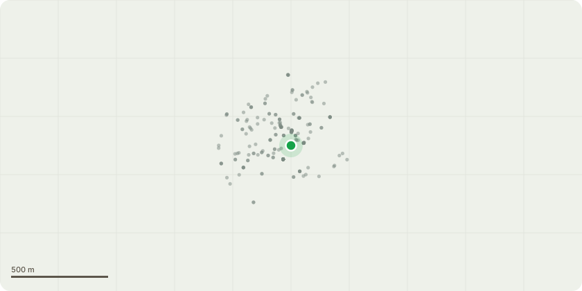
Approximate location
Proposal
Tree 1 – Bay Laurel (Laurus nobilis) Location: Rear garden, left side against boundary wall Height: Approximately 4–5 metres Works Proposed: Fell and remove the tree completely, including all stems Grind out or cut back stump to below ground level to prevent regrowth Reason: The tree is oversized for the small garden, blocks daylight, sheds substantial leaves, and restricts usable garden space. No amenity value to the wider conservation area. Tree 2 – Tree of Heaven (Ailanthus altissima) (invasive species) Location: Rear garden, right side near brick boundary wall Height: Approximately 4–5 metres Works Proposed: Fell and remove the entire tree, including all stems Treat stump to prevent regrowth (this species is known for aggressive suckering) Reason: This is a recognised invasive species that spreads rapidly, damages walls/foundations, and provides no positive landscape contribution. Early removal is recommended before the tree establishes a larger root system. General notes for both trees *All resulting debris will be removed from site. *Works will be carried out by a suitably qualified and insured tree surgeon. *No replacement planting is proposed unless required by the council.
Key dates
- Received 4 Dec 2025
- Validated 4 Dec 2025
- Started 4 Dec 2025
- Decided 15 Dec 2025
Planning history / related applications
No related planning applications have been identified in the current public OGL dataset.
Inside plotEdge
Go beyond the public record
This page is the public OGL record. plotEdge adds the private intelligence layer for this site - open it in the app to unlock:
- Ownership & title Registered owner and title from HM Land Registry.
- Viability & build potential Site scoring and development upside.
- Constraints Flood risk, green belt, conservation areas and designations.
- Approval signal Planning risk and approval-likelihood analysis.
- Comparable applications Decisions on similar nearby sites, side by side.
- Status alerts Get notified the moment this application changes.
Source: public planning application data from Richmond upon Thames, reused under the Open Government Licence v3.0. View the council source record. Council documents and drawings are not republished on plotEdge.