Richmond upon Thames
Richmond upon Thames/PA25/4229
64, Kings Road, Teddington, TW11 0QD
- Reference
- Richmond upon Thames/PA25/4229
- Authority
- Richmond upon Thames
- Application type
- Works to Tree/s in Conservation Area
- Address
- 64, Kings Road, Teddington, TW11 0QD
- Postcode
- TW11 0QD
- Status
- Decided
- Decision
- Raise No objection
- Received
- 25 Nov 2025
- Validated
- 1 Dec 2025
- Started
- 1 Dec 2025
- Decided
- 15 Dec 2025
- Source council
- Richmond upon Thames
- Council source record
- View public record
- Public data licence
- Open Government Licence v3.0
- Record updated
- 18 Jul 2026
- SEO index generated
- 24 Jul 2026
Location
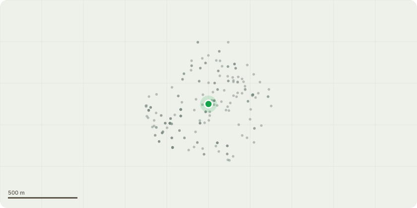
Approximate location
Proposal
Amended spec As requested a map showing the location of the 2 trees in our front garden that need pruning is below. The front garden is 3m deep x 5m wide (including the paved pathway) surrounded by a brick wall, we are in a terrace. The plum tree is on the left in the image below. It is approx 8.5 m high and we want to prune 1.5m, it is currently growing across the cables coming into the house and is low over the pavement. The tree is growing close to the house so the size and shape need to be maintained every couple of years. The olive tree is on the right in the image below. We planted it 20 years ago and it is 3m high and we want to prune about 50-75cm to shape it as it currently has a lot of dead branches underneath and needs to be shaped to stimulate stronger growth and give it a healthier appearance. It is also growing into the plum tree so the two trees need to be pruned to have adequate light and air and across the pavement. This is a maintenance prune for both trees.
Key dates
- Received 25 Nov 2025
- Validated 1 Dec 2025
- Started 1 Dec 2025
- Decided 15 Dec 2025
Planning history / related applications
No related planning applications have been identified in the current public OGL dataset.
Inside plotEdge
Go beyond the public record
This page is the public OGL record. plotEdge adds the private intelligence layer for this site - open it in the app to unlock:
- Ownership & title Registered owner and title from HM Land Registry.
- Viability & build potential Site scoring and development upside.
- Constraints Flood risk, green belt, conservation areas and designations.
- Approval signal Planning risk and approval-likelihood analysis.
- Comparable applications Decisions on similar nearby sites, side by side.
- Status alerts Get notified the moment this application changes.
Source: public planning application data from Richmond upon Thames, reused under the Open Government Licence v3.0. View the council source record. Council documents and drawings are not republished on plotEdge.