Richmond upon Thames
Richmond upon Thames/PA25/3917
1, High Street, Hampton Wick, Kingston Upon Thames, KT1 4DA
- Reference
- Richmond upon Thames/PA25/3917
- Authority
- Richmond upon Thames
- Application type
- Works to Tree/s in Conservation Area
- Address
- 1, High Street, Hampton Wick, Kingston Upon Thames, KT1 4DA
- Postcode
- KT1 4DA
- Status
- Decided
- Decision
- Raise No objection
- Received
- 30 Oct 2025
- Validated
- 30 Oct 2025
- Started
- 30 Oct 2025
- Decided
- 25 Nov 2025
- Source council
- Richmond upon Thames
- Council source record
- View public record
- Public data licence
- Open Government Licence v3.0
- Record updated
- 18 Jul 2026
- SEO index generated
- 24 Jul 2026
Location
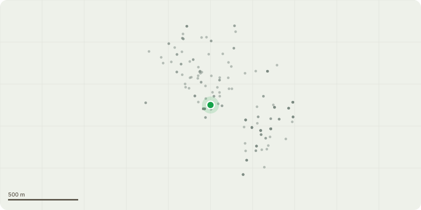
Approximate location
Proposal
Tree was inspected in the end of September by request of the hotel management. Located in a raised bedding area this Mature Chestnut ( Aesculus hippocastanum ) in a parking area of the hotel, within 5m of the building on 2 sides. Previously pollarded around 7-8 years ago due to die back in the upper crown. Has not recovered as one would have expected with poor regrowth. There are current fruiting bodies on the main stem as attached photo. A member of the 'Ganoderma Spp' Which could be a factor in the trees decline. Located approx. 3m up the main stem building side of the tree – as attached photo - Stem mallet tested with a dull sound recorded around the fruiting body which could indicate decayed interior with weakened structural integrity. A poor pruning cut at the crown break is showing clear signs of decay and entry route for pathogens. With potential weakening of the main union which is likely the area for potential failure. Further evidence of old pruning wounds around the crown break, by the looks of the upper stem growth this was likely a very historic low level pollard when the tree was young. Which could also be a weakness during stressed periods and weakened internal structure. It has been requested we fell the tree due to the above and fears of potential failure.
Key dates
- Received 30 Oct 2025
- Validated 30 Oct 2025
- Started 30 Oct 2025
- Decided 25 Nov 2025
Planning history / related applications
No related planning applications have been identified in the current public OGL dataset.
Inside plotEdge
Go beyond the public record
This page is the public OGL record. plotEdge adds the private intelligence layer for this site - open it in the app to unlock:
- Ownership & title Registered owner and title from HM Land Registry.
- Viability & build potential Site scoring and development upside.
- Constraints Flood risk, green belt, conservation areas and designations.
- Approval signal Planning risk and approval-likelihood analysis.
- Comparable applications Decisions on similar nearby sites, side by side.
- Status alerts Get notified the moment this application changes.
Source: public planning application data from Richmond upon Thames, reused under the Open Government Licence v3.0. View the council source record. Council documents and drawings are not republished on plotEdge.