Richmond upon Thames
Richmond upon Thames/PA25/3689
Hampton Court Palace, Hampton Court Road, Hampton
- Reference
- Richmond upon Thames/PA25/3689
- Authority
- Richmond upon Thames
- Application type
- Works to Tree/s in Conservation Area
- Address
- Hampton Court Palace, Hampton Court Road, Hampton
- Status
- Decided
- Decision
- Raise No objection
- Received
- 15 Oct 2025
- Validated
- 15 Oct 2025
- Started
- 15 Oct 2025
- Decided
- 21 Nov 2025
- Source council
- Richmond upon Thames
- Council source record
- View public record
- Public data licence
- Open Government Licence v3.0
- Record updated
- 18 Jul 2026
- SEO index generated
- 24 Jul 2026
Location
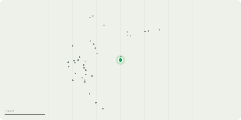
Approximate location
Proposal
The conservation team at Hampton Court Palace are looking into repair some gates and fencing rails at the start of the long water canal avenue. It has been observed that there is some cracking to a concrete footing along the fence next to a lime tree planted in 2004. In order to identify whether tree roots are interfering with the fence we would like to dig a trial pit, 1.5 metres in length, 400mm in width and a maximum 400mm in depth. Due to how close the tree is to the fence the trial pit will be located 1.3m away from the main stem, as this is located within the RPA,the pit will be dug by hand to avoid potential contact with tree roots. If tree roots are perceived to be the cause of the cracking, tree root pruning on areas effected and an installation of a protective root barrier would help protect the historic fence and retain the tree for the future.
Key dates
- Received 15 Oct 2025
- Validated 15 Oct 2025
- Started 15 Oct 2025
- Decided 21 Nov 2025
Planning history / related applications
No related planning applications have been identified in the current public OGL dataset.
Inside plotEdge
Go beyond the public record
This page is the public OGL record. plotEdge adds the private intelligence layer for this site - open it in the app to unlock:
- Ownership & title Registered owner and title from HM Land Registry.
- Viability & build potential Site scoring and development upside.
- Constraints Flood risk, green belt, conservation areas and designations.
- Approval signal Planning risk and approval-likelihood analysis.
- Comparable applications Decisions on similar nearby sites, side by side.
- Status alerts Get notified the moment this application changes.
Source: public planning application data from Richmond upon Thames, reused under the Open Government Licence v3.0. View the council source record. Council documents and drawings are not republished on plotEdge.