Richmond upon Thames
Richmond upon Thames/PA25/3576
20 Teddington Park Teddington TW11 8DA
- Reference
- Richmond upon Thames/PA25/3576
- Authority
- Richmond upon Thames
- Application type
- Works to Trees Under TPO
- Address
- 20 Teddington Park Teddington TW11 8DA
- Postcode
- TW11 8DA
- Status
- Decided
- Decision
- Granted Permission
- Received
- 8 Oct 2025
- Validated
- 8 Oct 2025
- Started
- 8 Oct 2025
- Decided
- 17 Nov 2025
- Source council
- Richmond upon Thames
- Council source record
- View public record
- Public data licence
- Open Government Licence v3.0
- Record updated
- 18 Jul 2026
- SEO index generated
- 24 Jul 2026
Location
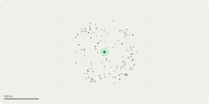
Approximate location
Proposal
T1 - Oak TPO 1380089 Crown thinning up to 10% including deadwood, branches over gardens of 41 Elmfield Avenue and 20 Teddington Park by up to 1.5 metres. The work is part of normal maintenance for a 200 year old tree and will give more light to the garden of 41 Elmfield Avenue and clearance to the properties at 41 Elmfield Avenue and in the garden of 20 Teddington Park. The height and the width of the oak will be the same before and after the works - approximately 17 metres high by 10 metres width. Although the tree is sited in and owned by 20 Teddington Park, a large proportion of the oak tree overhangs the garden of 41 Elmfield Avenue and blocks light, continually denying plants in the garden of 41 Elmfield Avenue of water and light (to the point where we have laid artificial turf in the garden as the grass kept dying). A substantial amount of deadwood falls into the garden of 41 Elmfield Avenue throughout the year. Recently a property was built in the garden of 20 Teddington Park directly under the tree so the the owners of the tree at 20 Teddington Park are keen to properly maintain the tree so it does not cause damage to the building. TPO consent was granted in 2017 and 2022 for the same works as being applied for here. This is continuing maintenance work.
Key dates
- Received 8 Oct 2025
- Validated 8 Oct 2025
- Started 8 Oct 2025
- Decided 17 Nov 2025
Planning history / related applications
No related planning applications have been identified in the current public OGL dataset.
Inside plotEdge
Go beyond the public record
This page is the public OGL record. plotEdge adds the private intelligence layer for this site - open it in the app to unlock:
- Ownership & title Registered owner and title from HM Land Registry.
- Viability & build potential Site scoring and development upside.
- Constraints Flood risk, green belt, conservation areas and designations.
- Approval signal Planning risk and approval-likelihood analysis.
- Comparable applications Decisions on similar nearby sites, side by side.
- Status alerts Get notified the moment this application changes.
Source: public planning application data from Richmond upon Thames, reused under the Open Government Licence v3.0. View the council source record. Council documents and drawings are not republished on plotEdge.