Richmond upon Thames
Richmond upon Thames/PA25/3289
STREET RECORD Fairways Teddington
- Reference
- Richmond upon Thames/PA25/3289
- Authority
- Richmond upon Thames
- Application type
- Works to Trees Under TPO
- Address
- STREET RECORD Fairways Teddington
- Status
- Decided
- Decision
- Granted Permission
- Received
- 23 Sept 2025
- Validated
- 23 Sept 2025
- Started
- 23 Sept 2025
- Decided
- 1 Oct 2025
- Source council
- Richmond upon Thames
- Council source record
- View public record
- Public data licence
- Open Government Licence v3.0
- Record updated
- 18 Jul 2026
- SEO index generated
- 24 Jul 2026
Location
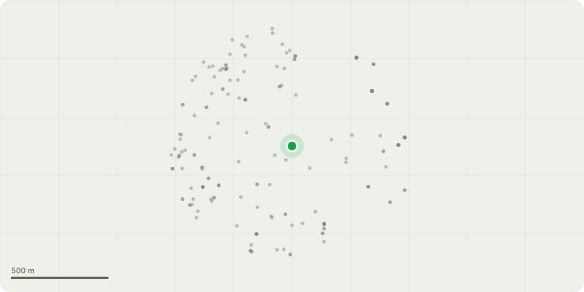
Approximate location
Proposal
COMMUNAL TREE T15 Deodar Cedar (Cedrus deodara) The tree was reported to have started to show signs of severe decline in the last month or so, dropping needles and yellowing of needles. There is no obvious sign of a reason for this. The treenow looks dead. The tree has always looked in relatively poor condition since I have known it (around 15 years), which is probably associated with the historic change of ground conditions when the estate was built. Trees do not cope well when the ground levels are changed near the base, the roots get compacted with raising the ground level or exposed and damaged when the levels are dropped - it appears the ground level was significantly raised in this case. However, this was around 50 years ago so one would expect the tree to have died sooner if the change in ground level was the cause of the tree's decline. There is exudate (sap like substance) all around the stem at around 1-2m which is an indication of poor condition/stress. Fell to low stump - due to the tree being within a pit and in poor condition.
Key dates
- Received 23 Sept 2025
- Validated 23 Sept 2025
- Started 23 Sept 2025
- Decided 1 Oct 2025
Planning history / related applications
No related planning applications have been identified in the current public OGL dataset.
Inside plotEdge
Go beyond the public record
This page is the public OGL record. plotEdge adds the private intelligence layer for this site - open it in the app to unlock:
- Ownership & title Registered owner and title from HM Land Registry.
- Viability & build potential Site scoring and development upside.
- Constraints Flood risk, green belt, conservation areas and designations.
- Approval signal Planning risk and approval-likelihood analysis.
- Comparable applications Decisions on similar nearby sites, side by side.
- Status alerts Get notified the moment this application changes.
Source: public planning application data from Richmond upon Thames, reused under the Open Government Licence v3.0. View the council source record. Council documents and drawings are not republished on plotEdge.