Richmond upon Thames
Richmond upon Thames/PA25/3108
Hampton Court Palace, Hampton Court Road, Hampton
- Reference
- Richmond upon Thames/PA25/3108
- Authority
- Richmond upon Thames
- Application type
- Works to Tree/s in Conservation Area
- Address
- Hampton Court Palace, Hampton Court Road, Hampton
- Status
- Decision Made
- Received
- 9 Sept 2025
- Validated
- 9 Sept 2025
- Started
- 9 Sept 2025
- Source council
- Richmond upon Thames
- Council source record
- View public record
- Public data licence
- Open Government Licence v3.0
- Record updated
- 18 Jul 2026
- SEO index generated
- 24 Jul 2026
Location
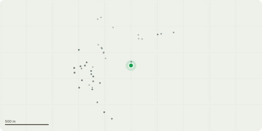
Approximate location
Proposal
Home Park borders Hampton Court Road with a single row of 119 mostly mature horse chestnut within the park. Many of the trees are becoming over weighted with over extended lateral limbs over the wall, putting a lot of pressure on main stem unions. This application relates to the most recent tree survey on this area complete on 05/09/2025. 38 trees were found to require remedial work to reduce tree risk to an acceptable level. Of the 38 trees: 7 have been recommended to fell because they are in significant decline and have not responded well to previous works. 21 trees were recommended a reduction of 5m over the roadside and a re-balance of the crown. The average height is 19m and average crown spread 15m, this would result in recommended stems having an average height of 18m and crown spread of 10m. 4 stems have been recommended to repollard to previous points for long term tree retention. 6 stems have been recommended crown lifting above the wall and reduction of a specific lateral limb to stabilize the crown. The attached tree survey report includes a timescale for each remedial work recommendation. The works recommended would be carried out over 1 year to minimize the visual impact and prioritize trees of worst health.
Key dates
- Received 9 Sept 2025
- Validated 9 Sept 2025
- Started 9 Sept 2025
Planning history / related applications
No related planning applications have been identified in the current public OGL dataset.
Inside plotEdge
Go beyond the public record
This page is the public OGL record. plotEdge adds the private intelligence layer for this site - open it in the app to unlock:
- Ownership & title Registered owner and title from HM Land Registry.
- Viability & build potential Site scoring and development upside.
- Constraints Flood risk, green belt, conservation areas and designations.
- Approval signal Planning risk and approval-likelihood analysis.
- Comparable applications Decisions on similar nearby sites, side by side.
- Status alerts Get notified the moment this application changes.
Source: public planning application data from Richmond upon Thames, reused under the Open Government Licence v3.0. View the council source record. Council documents and drawings are not republished on plotEdge.