Richmond upon Thames
Richmond upon Thames/PA25/3026
1, The Vineyard, Richmond, TW10 6AQ
- Reference
- Richmond upon Thames/PA25/3026
- Authority
- Richmond upon Thames
- Application type
- Works to Tree/s in Conservation Area
- Address
- 1, The Vineyard, Richmond, TW10 6AQ
- Postcode
- TW10 6AQ
- Status
- Decided
- Decision
- Raise No objection
- Received
- 3 Sept 2025
- Validated
- 3 Sept 2025
- Started
- 3 Sept 2025
- Decided
- 29 Sept 2025
- Source council
- Richmond upon Thames
- Council source record
- View public record
- Public data licence
- Open Government Licence v3.0
- Record updated
- 18 Jul 2026
- SEO index generated
- 24 Jul 2026
Location
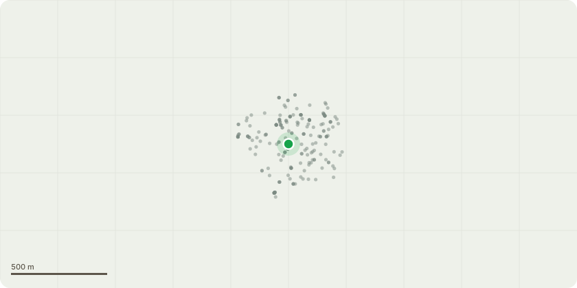
Approximate location
Proposal
T1 Eucalyptus Tree We would like to remove the eucalyptus tree T1 which has been planted too close to the rear of the grade II listed Nos 1 and 3 The Vineyard and has the potential to cause damage. The diameter of the trunk is approximately 70mm. The reasons for requesting its removal are: - The species of eucalyptus is unknown, but it is already over 5m high. Further growth will interfere with the projecting first floor extension to the rear of the property, and the walls, roofs and gutters of both houses. - For any tree, a general rule is to plant it at least two-thirds of its potential mature height away from the building. - According to the Royal Horticultural Society, eucalyptus is a ‘high water demand tree’ and accounts for a high number of subsidence cases in the UK; roots can absorb significant amounts of water from the soil, which can cause soil shrinkage and affect the foundations of buildings. Replacement – Rowan (Sorbus) We propose to plant a smaller / compact species of rowan / mountain ash (sorbus) tree that is attractive to wildlife, such as a Sorbus 'Copper Kettle'. This is to be located further away from the rear of the houses, towards the rear boundary, as indicated on the accompanying sketch plan and will grow to a maximum height of 5m.
Key dates
- Received 3 Sept 2025
- Validated 3 Sept 2025
- Started 3 Sept 2025
- Decided 29 Sept 2025
Planning history / related applications
No related planning applications have been identified in the current public OGL dataset.
Inside plotEdge
Go beyond the public record
This page is the public OGL record. plotEdge adds the private intelligence layer for this site - open it in the app to unlock:
- Ownership & title Registered owner and title from HM Land Registry.
- Viability & build potential Site scoring and development upside.
- Constraints Flood risk, green belt, conservation areas and designations.
- Approval signal Planning risk and approval-likelihood analysis.
- Comparable applications Decisions on similar nearby sites, side by side.
- Status alerts Get notified the moment this application changes.
Source: public planning application data from Richmond upon Thames, reused under the Open Government Licence v3.0. View the council source record. Council documents and drawings are not republished on plotEdge.