Richmond upon Thames
Richmond upon Thames/PA25/2920
The Russell Nursery School Meadlands Drive Petersham
- Reference
- Richmond upon Thames/PA25/2920
- Authority
- Richmond upon Thames
- Application type
- Works to Tree/s in Conservation Area
- Address
- The Russell Nursery School Meadlands Drive Petersham
- Status
- Decided
- Decision
- Raise No objection
- Received
- 26 Aug 2025
- Validated
- 2 Sept 2025
- Started
- 2 Sept 2025
- Decided
- 14 Oct 2025
- Source council
- Richmond upon Thames
- Council source record
- View public record
- Public data licence
- Open Government Licence v3.0
- Record updated
- 18 Jul 2026
- SEO index generated
- 24 Jul 2026
Location
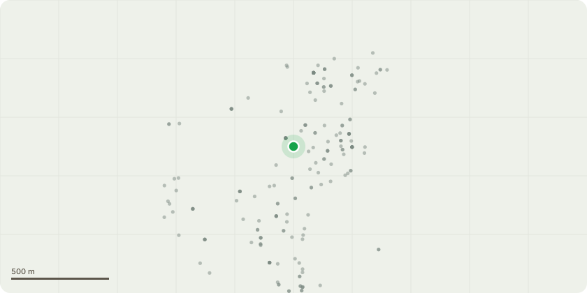
Approximate location
Proposal
T1 Oak, early mature, 15m in height T2 Oak, early mature, 15m in height T3 Oak, semi-mature, 10m in height T4 Oak, fully mature, 20m in height The proposed works involve pruning each tree to achieve a minimum clearance of 2 metres between the crown and the new building. This will be accomplished by selective pruning from the outer edges of the crown towards the centre, ensuring that any branches encroaching within 2 metres of the proposed building line are cut back to an appropriate growth point, maintaining the required distance. Additionally, a 1 metre allowance is included for scaffolding access, thereby establishing a total clearance of 3 metres from the proposed building line. These measures aim to provide sufficient space for both the construction and the associated scaffolding, mitigating any potential for unplanned pruning during the build. For T1, the overall height will remain at 15 metres. Lateral reduction on the building side will result in the crown being retained 1 metre from the current boundary up to a height of 7 metres (the height of the proposed building), providing the necessary clearance. Approximately 3–3.5 metres of lateral growth will be removed in this area. Above the building line, both the height and spread of the tree will remain unchanged. For T2, the height will also remain at 15 metres. The lateral reduction will ensure the crown is maintained 1 metre from the boundary up to 7 metres high, requiring the removal of approximately 4–5 metres of lateral length in the specified section. As with T1, the upper portions of the crown will not be affected. For T3, the height will remain at 10 metres. The lateral reduction will set the crown 1 metre from the boundary up to a height of 7 metres, resulting in the removal of approximately 2.5–3 metres of lateral growth in this section. The height and spread above the building line will remain as existing. This work will have the greatest impact on T3 compared to the other trees. For T4, the height will remain at 20 metres. Lateral reduction will retain the crown 3 metres from the boundary in the limited section affected, up to 7 metres in height. This will involve the removal of approximately 1.5–2 metres of lateral growth. The height of the tree will remain significantly above the building line, with only a small area of the crown affected. It should be noted that there is existing ground-level clearance under all four trees of approximately 3–4 metres; therefore, the affected sections are relatively minor, with T3 experiencing the most significant change and T4 the least.
Key dates
- Received 26 Aug 2025
- Validated 2 Sept 2025
- Started 2 Sept 2025
- Decided 14 Oct 2025
Planning history / related applications
No related planning applications have been identified in the current public OGL dataset.
Inside plotEdge
Go beyond the public record
This page is the public OGL record. plotEdge adds the private intelligence layer for this site - open it in the app to unlock:
- Ownership & title Registered owner and title from HM Land Registry.
- Viability & build potential Site scoring and development upside.
- Constraints Flood risk, green belt, conservation areas and designations.
- Approval signal Planning risk and approval-likelihood analysis.
- Comparable applications Decisions on similar nearby sites, side by side.
- Status alerts Get notified the moment this application changes.
Source: public planning application data from Richmond upon Thames, reused under the Open Government Licence v3.0. View the council source record. Council documents and drawings are not republished on plotEdge.