Richmond upon Thames
Richmond upon Thames/PA25/2875
3 Church Walk Richmond TW9 1SN
- Reference
- Richmond upon Thames/PA25/2875
- Authority
- Richmond upon Thames
- Application type
- Works to Tree/s in Conservation Area
- Address
- 3 Church Walk Richmond TW9 1SN
- Postcode
- TW9 1SN
- Status
- Decided
- Decision
- Raise No objection
- Received
- 19 Aug 2025
- Validated
- 19 Aug 2025
- Started
- 19 Aug 2025
- Decided
- 10 Sept 2025
- Source council
- Richmond upon Thames
- Council source record
- View public record
- Public data licence
- Open Government Licence v3.0
- Record updated
- 18 Jul 2026
- SEO index generated
- 24 Jul 2026
Location
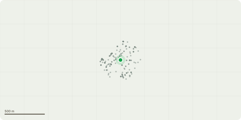
Approximate location
Proposal
T1 Cabbage Tree - Removal The tree is a 'cabbage tree' or Cordyline australis, a New Zealand native evergreen tree also known as the New Zealand Cabbage Palm or Torbay Palm. I wish to remove it because it is an eyesore. It is not a native species to the UK and is incongruous in the front garden of a grade II listed house and in the setting of the grade I listed St Mary Magdelene’s Church. In addition, the tree appears unwell, with brown leaves rather than green. The base has been choaked with ivy, although this has recently been cut back. The cabbage tree was planted in the late-2000s by the previous owners of the property. Prior to this there is no evidence of any tree in the front garden. See photos on next page. I do not wish to replace the tree, as the front garden is very small and I would be very concerned about the impact of tree roots on the listed property. The courtyard garden to the rear is also very small and planting a replacement tree would therefore not be feasible.
Key dates
- Received 19 Aug 2025
- Validated 19 Aug 2025
- Started 19 Aug 2025
- Decided 10 Sept 2025
Planning history / related applications
No related planning applications have been identified in the current public OGL dataset.
Inside plotEdge
Go beyond the public record
This page is the public OGL record. plotEdge adds the private intelligence layer for this site - open it in the app to unlock:
- Ownership & title Registered owner and title from HM Land Registry.
- Viability & build potential Site scoring and development upside.
- Constraints Flood risk, green belt, conservation areas and designations.
- Approval signal Planning risk and approval-likelihood analysis.
- Comparable applications Decisions on similar nearby sites, side by side.
- Status alerts Get notified the moment this application changes.
Source: public planning application data from Richmond upon Thames, reused under the Open Government Licence v3.0. View the council source record. Council documents and drawings are not republished on plotEdge.