Richmond upon Thames
Richmond upon Thames/PA25/2720
1, Hood Avenue, London, SW14 7LH
- Reference
- Richmond upon Thames/PA25/2720
- Authority
- Richmond upon Thames
- Application type
- Works to Tree/s in Conservation Area
- Address
- 1, Hood Avenue, London, SW14 7LH
- Postcode
- SW14 7LH
- Status
- Decided
- Decision
- Raise No objection
- Received
- 6 Aug 2025
- Validated
- 6 Aug 2025
- Started
- 6 Aug 2025
- Decided
- 8 Sept 2025
- Source council
- Richmond upon Thames
- Council source record
- View public record
- Public data licence
- Open Government Licence v3.0
- Record updated
- 18 Jul 2026
- SEO index generated
- 24 Jul 2026
Location
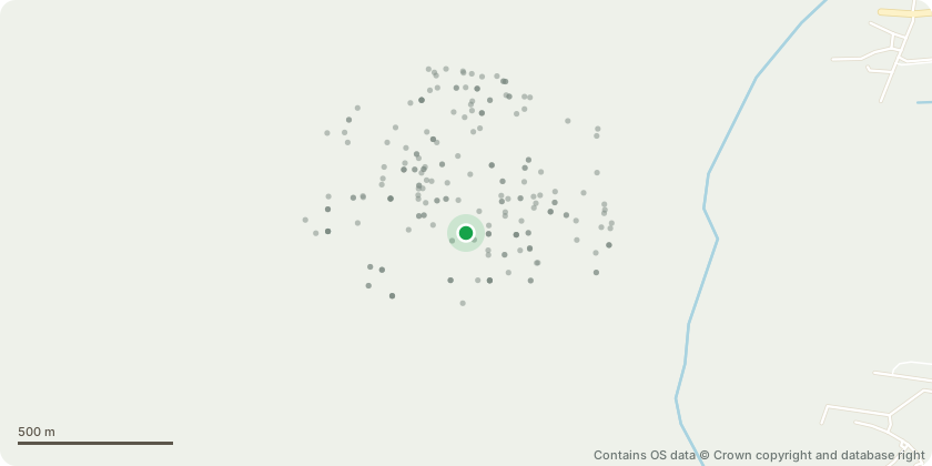
Approximate location - Contains OS data © Crown copyright and database right
Proposal
Removal of a wild cherry tree (Prunus avium) located in the front garden of 1 Hood Avenue, which is situated within a conservation area. This tree is labelled T6-B1 in the attached Tree Survey and Site Plan. Planting of 1 replacement tree in as similar a location as is practically possible, with a variety of ornamental cherry that offers similar aesthetic value but with less aggressive root growth, to be maintained regularly to help keep root system contained. Currently the tree’s extensive root system is causing damage to the adjacent public pavement and obstructing the landscaping of the front garden, limiting the ability to improve the overall aesthetic and functionality of the space, as illustrated in IMG_6327, 6326, 6320, 6319. We’ve also been informally advised by a landscape designer that the tree is showing signs of disease (IMG_6328, 6324).
Key dates
- Received 6 Aug 2025
- Validated 6 Aug 2025
- Started 6 Aug 2025
- Decided 8 Sept 2025
Planning history / related applications
No related planning applications have been identified in the current public OGL dataset.
Inside plotEdge
Go beyond the public record
This page is the public OGL record. plotEdge adds the private intelligence layer for this site - open it in the app to unlock:
- Ownership & title Registered owner and title from HM Land Registry.
- Viability & build potential Site scoring and development upside.
- Constraints Flood risk, green belt, conservation areas and designations.
- Approval signal Planning risk and approval-likelihood analysis.
- Comparable applications Decisions on similar nearby sites, side by side.
- Status alerts Get notified the moment this application changes.
Source: public planning application data from Richmond upon Thames, reused under the Open Government Licence v3.0. View the council source record. Council documents and drawings are not republished on plotEdge.