Richmond upon Thames
Richmond upon Thames/PA25/2676
26 28, Unit 1, Priests Bridge, East Sheen
- Reference
- Richmond upon Thames/PA25/2676
- Authority
- Richmond upon Thames
- Application type
- Removal or variation of a condition
- Address
- 26 28, Unit 1, Priests Bridge, East Sheen
- Postcode
- SW14 8TA
- Status
- Decided
- Decision
- Granted Permission
- Received
- 1 Aug 2025
- Validated
- 18 Aug 2025
- Started
- 18 Aug 2025
- Decided
- 26 Nov 2025
- Source council
- Richmond upon Thames
- Council source record
- View public record
- Public data licence
- Open Government Licence v3.0
- Record updated
- 18 Jul 2026
- SEO index generated
- 24 Jul 2026
Location
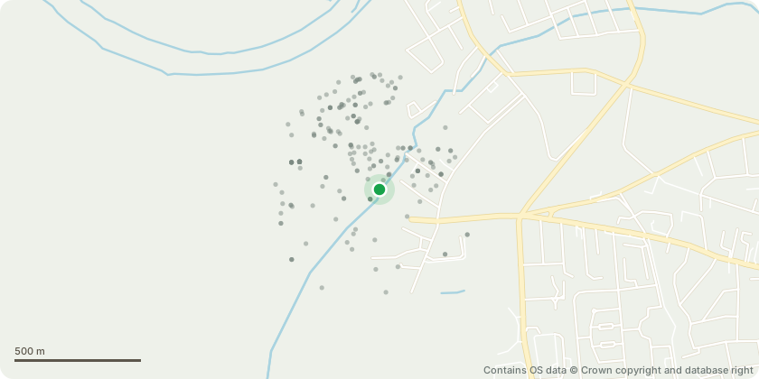
Approximate location - Contains OS data © Crown copyright and database right
Proposal
Variation of condition C9 (approved drawings) and variation of conditions C6 (Refuse storage arrangements) and C11 (delivery, servicing and operational waste) of planning approval 22/2360/FUL, as subsequently varied under ref: 24/1707/VRC and PA25/0122 to allow for the following amendments: Rear building commercial plant room no longer required, therefore area incorporated into residential unit 8. Rear building communal entrance relocated off the brook path, serving residential unit 9 and Class E space. Rear building window fenestration on North-west and south west roof elevations amended; Front building window fenestration on South-west elevation amended to align with internal layout. Front building rear elevation, previous existing brick boundary wall replaced with new build wall. Bin store locations for residential and commercial units amended. (Updated Drawing and Design Statement received 10.11.2025 reinstating brickwall on Boundary with Treen Avenue).
Key dates
- Received 1 Aug 2025
- Validated 18 Aug 2025
- Started 18 Aug 2025
- Decided 26 Nov 2025
Planning history / related applications
No related planning applications have been identified in the current public OGL dataset.
Inside plotEdge
Go beyond the public record
This page is the public OGL record. plotEdge adds the private intelligence layer for this site - open it in the app to unlock:
- Ownership & title Registered owner and title from HM Land Registry.
- Viability & build potential Site scoring and development upside.
- Constraints Flood risk, green belt, conservation areas and designations.
- Approval signal Planning risk and approval-likelihood analysis.
- Comparable applications Decisions on similar nearby sites, side by side.
- Status alerts Get notified the moment this application changes.
Source: public planning application data from Richmond upon Thames, reused under the Open Government Licence v3.0. View the council source record. Council documents and drawings are not republished on plotEdge.