Richmond upon Thames
Richmond upon Thames/PA25/2622
Grosvenor House Grosvenor Road Twickenham
- Reference
- Richmond upon Thames/PA25/2622
- Authority
- Richmond upon Thames
- Application type
- Works to Tree/s in Conservation Area
- Address
- Grosvenor House Grosvenor Road Twickenham
- Postcode
- TW1 4AD
- Status
- Decided
- Decision
- Raise No objection
- Received
- 30 Jul 2025
- Validated
- 30 Jul 2025
- Started
- 30 Jul 2025
- Decided
- 3 Sept 2025
- Source council
- Richmond upon Thames
- Council source record
- View public record
- Public data licence
- Open Government Licence v3.0
- Record updated
- 18 Jul 2026
- SEO index generated
- 24 Jul 2026
Location
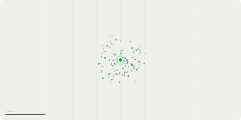
Approximate location
Proposal
T1. Walnut Frontage: Routine maintenance: Reduce height and lateral spread by 2 meters, leaving a rounded, natural form. Raise the low canopy over the main road to 5.5m above ground level. Remove dead branches throughout the crown area that are over 2.5cm in diameter, and inspect the crown for any adversities. The tree's current height is 16m, and its crown spread is 14m After the proposed works, the tree's height is 14 meters and the crown spread is 12 meters. T2. Juniper Frontage: Poor in health/Partially dead. Section fell to near ground level. The tree's current height is 12m, and its crown spread is 6m After the proposed works, the tree's height is 0.0 meters and the crown spread is 0.0 meters. T3. Blue Atlas Cedar Frontage: Tree Management Report: Blue Atlas Cedar (Cedrus atlantica 'Glauca') Location: Frontage area, overhanging a school playground Tree Characteristics: Large, mature specimen Broad, spreading crown with heavy limbs Situated in a high-traffic area with children present. Assessment Summary:The tree has significantly outgrown its location, with structural interference and potential risk of limb failure. Due to its proximity to a school and the presence of children, safety is the primary concern. Recommended Crown Management Plan: Crown Reduction: Height reduction by approximately 2.5 meters & lateral spread reduction by approximately 2.5 meters, while keeping pruning cuts to a minimal diameter. Objective: Maintain a natural, balanced form while reducing mechanical stress and risk of failure. Selective Branch Removal: Remove the two lowest lateral branches directly overhanging the children's play area to eliminate immediate hazards. Deadwood Removal: Remove all dead branches over 2.5 cm in diameter throughout the crown to reduce the risk of falling debris. The tree's current height is 21m, and its crown spread is 12m After the proposed works, the tree's height is 19 meters and the crown spread is 9.5 meters. T5. Bay Tree Rear Garden/Parking Area: Reduce height by 3.5m and spread by 1.5m, leaving a natural rounded form. The tree's current height is 12m, and its crown spread is 5m After the proposed works, the tree's height is 8.5 meters and the crown spread is 4 meters. T6. Cypress Rear Parking Area: Tree affected by Coryneum canker. Prune out affected branches, cutting at least 10 centimetres below the canker into healthy wood if feasible, preferably during dry weather or winter. Retain as a screen. The tree's current height is 6m, and its crown spread is 3m After the proposed works, the tree's height is 6 meters and the crown spread is 3 meters.
Key dates
- Received 30 Jul 2025
- Validated 30 Jul 2025
- Started 30 Jul 2025
- Decided 3 Sept 2025
Planning history / related applications
No related planning applications have been identified in the current public OGL dataset.
Inside plotEdge
Go beyond the public record
This page is the public OGL record. plotEdge adds the private intelligence layer for this site - open it in the app to unlock:
- Ownership & title Registered owner and title from HM Land Registry.
- Viability & build potential Site scoring and development upside.
- Constraints Flood risk, green belt, conservation areas and designations.
- Approval signal Planning risk and approval-likelihood analysis.
- Comparable applications Decisions on similar nearby sites, side by side.
- Status alerts Get notified the moment this application changes.
Source: public planning application data from Richmond upon Thames, reused under the Open Government Licence v3.0. View the council source record. Council documents and drawings are not republished on plotEdge.