Richmond upon Thames
Richmond upon Thames/PA25/2445
Kelvin Court 24 - 26 Marlborough Road Richmond
- Reference
- Richmond upon Thames/PA25/2445
- Authority
- Richmond upon Thames
- Application type
- Works to Tree/s in Conservation Area
- Address
- Kelvin Court 24 - 26 Marlborough Road Richmond
- Status
- Decided
- Decision
- Raise No objection
- Received
- 15 Jul 2025
- Validated
- 15 Jul 2025
- Started
- 15 Jul 2025
- Decided
- 26 Aug 2025
- Source council
- Richmond upon Thames
- Council source record
- View public record
- Public data licence
- Open Government Licence v3.0
- Record updated
- 18 Jul 2026
- SEO index generated
- 24 Jul 2026
Location
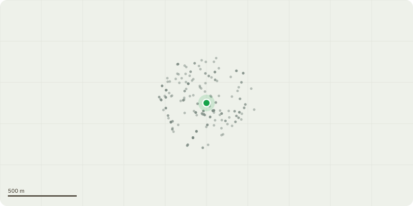
Approximate location
Proposal
T1 Eucalyptus- Remove this tree and replace with more suitable indigenous species. This tree is causing the residents problems. The roots appear to have lifted the pavement and the public footpath causing a potential trip hazard for members of the public. The brick wall surrounding the tree is being pushed by the increasingly growing main stem & has cracked in multiple areas due to the tree growing too big. The quantity of leaf drop has been more than ever this year and there are multiple dead branches in the upper canopy and over the footpath. The tree leans into the road with the majority of the upper crown positioned above the footpath & road. The constant reducing of this tree hasn't appeared to contain the size of this tree as it responds with huge amounts of regrowth. The species of tree is too large for its location and will only grow larger. Lorries & bigger vehicles are having to divert around the branches or hitting them.
Key dates
- Received 15 Jul 2025
- Validated 15 Jul 2025
- Started 15 Jul 2025
- Decided 26 Aug 2025
Planning history / related applications
No related planning applications have been identified in the current public OGL dataset.
Inside plotEdge
Go beyond the public record
This page is the public OGL record. plotEdge adds the private intelligence layer for this site - open it in the app to unlock:
- Ownership & title Registered owner and title from HM Land Registry.
- Viability & build potential Site scoring and development upside.
- Constraints Flood risk, green belt, conservation areas and designations.
- Approval signal Planning risk and approval-likelihood analysis.
- Comparable applications Decisions on similar nearby sites, side by side.
- Status alerts Get notified the moment this application changes.
Source: public planning application data from Richmond upon Thames, reused under the Open Government Licence v3.0. View the council source record. Council documents and drawings are not republished on plotEdge.