Richmond upon Thames
Richmond upon Thames/PA25/2174
THE RAMBERT SCHOOL, The Rambert School, St Margarets Drive, Twickenham, TW1 1QN
- Reference
- Richmond upon Thames/PA25/2174
- Authority
- Richmond upon Thames
- Application type
- Works to Tree/s in Conservation Area
- Address
- THE RAMBERT SCHOOL, The Rambert School, St Margarets Drive, Twickenham, TW1 1QN
- Postcode
- TW1 1QN
- Status
- Decided
- Decision
- Raise No objection
- Received
- 26 Jun 2025
- Validated
- 26 Jun 2025
- Started
- 26 Jun 2025
- Decided
- 30 Jul 2025
- Source council
- Richmond upon Thames
- Council source record
- View public record
- Public data licence
- Open Government Licence v3.0
- Record updated
- 18 Jul 2026
- SEO index generated
- 24 Jul 2026
Location
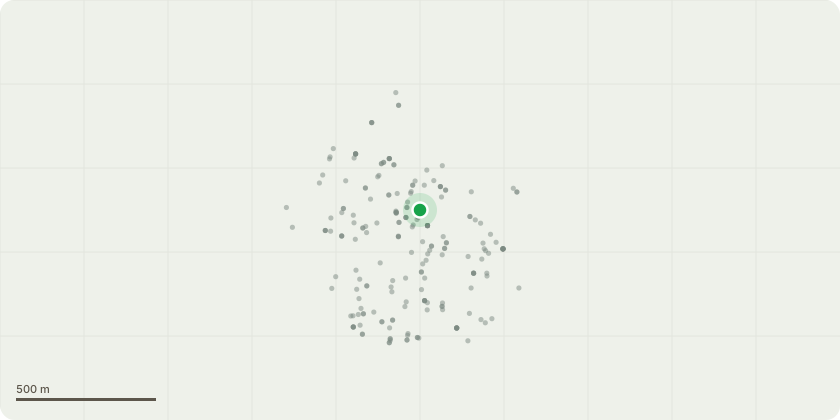
Approximate location
Proposal
Holm Oak T1 is a mature Holm Oak Tree (Quercus ilex) located at the rear of Clifton Lodge (TW1 1QN), home of the Rambert School of Ballet and Contemporary Dance in the area between the pilates room, and the rear of the Anya Linden Studio Theatre extension to Clifton Lodge that was completed 2005-7. This area includes a small outside gym which is used by the students of the school. The tree is in need of maintenance in order for it to retain its shape, control its size and improve air circulation. This Holm Oak is situated in the middle of a temporary tent covering. The School is currently applying to renew and make permanent a tent covering to protect the outside gym. We have consulted with our neighbours in Kilmorey Road and they have no objections to these plans. Our tree surgeon has advised that the tree should be pollarded back to previous points to maintain the Holm Oak. The Holm Oak is heavier on one side and this will be corrected. The current height of the tree is 10 m high by 10m wide. The crown height and width pollarding will be 2.5m from the crown. We will undertake a crown lift of 1m and and crown thinning. The width of the tree will be reduced by 2.5m in total 1.25 each side of the tree. The size of the tree on completion will be 7m high and 7m wide.
Key dates
- Received 26 Jun 2025
- Validated 26 Jun 2025
- Started 26 Jun 2025
- Decided 30 Jul 2025
Planning history / related applications
No related planning applications have been identified in the current public OGL dataset.
Inside plotEdge
Go beyond the public record
This page is the public OGL record. plotEdge adds the private intelligence layer for this site - open it in the app to unlock:
- Ownership & title Registered owner and title from HM Land Registry.
- Viability & build potential Site scoring and development upside.
- Constraints Flood risk, green belt, conservation areas and designations.
- Approval signal Planning risk and approval-likelihood analysis.
- Comparable applications Decisions on similar nearby sites, side by side.
- Status alerts Get notified the moment this application changes.
Source: public planning application data from Richmond upon Thames, reused under the Open Government Licence v3.0. View the council source record. Council documents and drawings are not republished on plotEdge.