Richmond upon Thames
Richmond upon Thames/PA25/1648
Hampton Court Palace, Hampton Court Road, Hampton
- Reference
- Richmond upon Thames/PA25/1648
- Authority
- Richmond upon Thames
- Application type
- Works to Tree/s in Conservation Area
- Address
- Hampton Court Palace, Hampton Court Road, Hampton
- Status
- Decided
- Decision
- Raise No objection
- Received
- 16 May 2025
- Validated
- 16 May 2025
- Started
- 16 May 2025
- Decided
- 26 Jun 2025
- Source council
- Richmond upon Thames
- Council source record
- View public record
- Public data licence
- Open Government Licence v3.0
- Record updated
- 18 Jul 2026
- SEO index generated
- 24 Jul 2026
Location
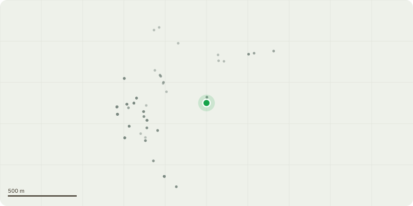
Approximate location
Proposal
Ash - Tag B0572 - Fell, due to Innonotus hispidus on main stem. Stem located on Barge Walk. False Acacia - Tag B0557 - Retrechment prune, selective 2m reduction to reduce height by 2m and crown spread by 2m due to significant dieback. Resulting in stem to be 6m tall with 4m crown spread. Horse Chestnut - Tag R0093 - Fell tree due to high target area, located next to zebra crossing and road junction. Poor physiological condition and signs of significant bleeding canker. Previously reduced and poor response. Indian Horse Chestnut - Tag G0384 - Young bracket fungus, suspected Rigidiporus ulmaris to northern basal area. Crown becoming overextended in small growing space, encroaching on third party property. Reduce whole crown by 4m from 14m spread to 10m and 21m in height to 16m to contain and reduce wind loading effects on unions. Bramley apple - Untagged - Crown becoming too large for space and encroaching on building. Reduce whole crown by 3m in height and crown thin all around to previous pruning points. Beech - Tag G0825 - Mature beech with Kretzschmaria at base and cavity at 3m to south stem. Decay detection (resistance drilling and PICUS Tomograpgh carried out April 26th 2025) Consultant report received 09/05/2025. Reduce canopy selectively by 4m and drop crotch heavily weighted lateral limbs to manage stem decline, remove any deadwood. Consultant Report attached.
Key dates
- Received 16 May 2025
- Validated 16 May 2025
- Started 16 May 2025
- Decided 26 Jun 2025
Planning history / related applications
No related planning applications have been identified in the current public OGL dataset.
Inside plotEdge
Go beyond the public record
This page is the public OGL record. plotEdge adds the private intelligence layer for this site - open it in the app to unlock:
- Ownership & title Registered owner and title from HM Land Registry.
- Viability & build potential Site scoring and development upside.
- Constraints Flood risk, green belt, conservation areas and designations.
- Approval signal Planning risk and approval-likelihood analysis.
- Comparable applications Decisions on similar nearby sites, side by side.
- Status alerts Get notified the moment this application changes.
Source: public planning application data from Richmond upon Thames, reused under the Open Government Licence v3.0. View the council source record. Council documents and drawings are not republished on plotEdge.