Richmond upon Thames
Richmond upon Thames/PA25/1554
Unit 31 Platts Eyot Lower Sunbury Road Hampton TW12 2HF
- Reference
- Richmond upon Thames/PA25/1554
- Authority
- Richmond upon Thames
- Application type
- Works to Trees Under TPO
- Address
- Unit 31 Platts Eyot Lower Sunbury Road Hampton TW12 2HF
- Postcode
- TW12 2HF
- Status
- Decision Made
- Received
- 9 May 2025
- Validated
- 13 May 2025
- Started
- 13 May 2025
- Source council
- Richmond upon Thames
- Council source record
- View public record
- Public data licence
- Open Government Licence v3.0
- Record updated
- 18 Jul 2026
- SEO index generated
- 24 Jul 2026
Location
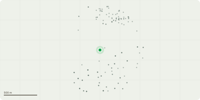
Approximate location
Proposal
One multi-stemmed poplar tree which we require to be removed. One Sycamore tree that we require to be removed. If permission granted the trees will be dismantled, disposed of and the roots removed to allow for piling. We are piling around the island to stop the erosion and improve the heath and safety of our tenants and visitors. The property line has been determined with the council and the environment agency. IMG_03 and IMG_04 show the blue line that has been determined as our boundary and therfore requires a steel pile to be installed. This is also where we are required to install wildlife bays to help with the ecology of the river so we would need to remove the small sycamore behind the poplar. IMG_01 and IMG_02 show the two trees while stood back. The piling work cannot be completed with these two trees remaining and would really appreciate approval to remove. I would propose replanting a poplar and a sycamore. Very happy to plant different species if you would prefer. The sketch plan is the western part of Platts Eyot. The red X indicates the location of both trees as they are less that a meter apart. I have attached red and white tikka tape to the tree so they are easily identifiable to the tree officer. I know I asked for the previous application to be rushed through but i would mighty appreciate if the same could be done with this one. This has been another oversight from the engineer for this job.
Key dates
- Received 9 May 2025
- Validated 13 May 2025
- Started 13 May 2025
Planning history / related applications
No related planning applications have been identified in the current public OGL dataset.
Inside plotEdge
Go beyond the public record
This page is the public OGL record. plotEdge adds the private intelligence layer for this site - open it in the app to unlock:
- Ownership & title Registered owner and title from HM Land Registry.
- Viability & build potential Site scoring and development upside.
- Constraints Flood risk, green belt, conservation areas and designations.
- Approval signal Planning risk and approval-likelihood analysis.
- Comparable applications Decisions on similar nearby sites, side by side.
- Status alerts Get notified the moment this application changes.
Source: public planning application data from Richmond upon Thames, reused under the Open Government Licence v3.0. View the council source record. Council documents and drawings are not republished on plotEdge.