Richmond upon Thames
Richmond upon Thames/PA25/1399
St Osmunds R C Primary School Church Road, Barnes SW13 9HQ
- Reference
- Richmond upon Thames/PA25/1399
- Authority
- Richmond upon Thames
- Application type
- Works to Trees Under TPO
- Address
- St Osmunds R C Primary School Church Road, Barnes SW13 9HQ
- Postcode
- SW13 9HQ
- Status
- Decided
- Decision
- Refused Permission
- Received
- 29 Apr 2025
- Validated
- 9 May 2025
- Started
- 9 May 2025
- Decided
- 26 Jun 2025
- Source council
- Richmond upon Thames
- Council source record
- View public record
- Public data licence
- Open Government Licence v3.0
- Record updated
- 18 Jul 2026
- SEO index generated
- 24 Jul 2026
Location
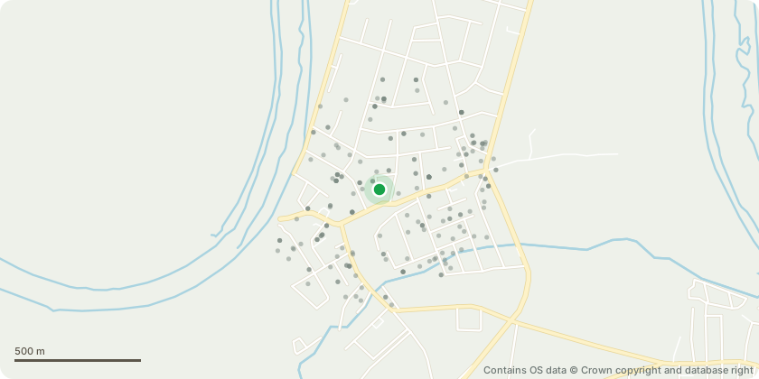
Approximate location - Contains OS data © Crown copyright and database right
Proposal
T001 - Cedar of Lebanon - reduction works and replacement of Cobra bracing - It is recommended that the reduction of the specified parts of the crown is carried out by selectively reducing growth generally up to 1.5m. This can be increased to up to 2.5m in places where sufficient photosynthetic material can be retained so the likelihood of branch death is reduced. In addition to the existing bracing, an additional section of bracing should be installed in the NW section of the canopy to provide some additional support beyond a potentially weakened union. Appeal – we have appealed the decision of the previous application for works to this tree. The appeal was submitted on the 24th September 2024 and we had the first response from The Planning Inspectorate on the 30th September 2024. The appeal reference is APP/TPO/L5810/10311. We are still waiting for a date for the site visit. In the meantime, there has been a branch failure (reported to The Planning Inspectorate on the 17th December 2024). a 3m crown reduction in width of crown diameter (1.5m radially) is proposed. This will be increased to 4m diameter reduction where there is sufficient remaining foliage to support increased branch reduction of up to 2.5m. No reduction in height is proposed. This leaves a canopy spread after reduction of generally 8m and in some places 7m and a height of 15m (from 11m diameter and 15m height being the current dimensions, prior to reduction works).
Key dates
- Received 29 Apr 2025
- Validated 9 May 2025
- Started 9 May 2025
- Decided 26 Jun 2025
Planning history / related applications
No related planning applications have been identified in the current public OGL dataset.
Inside plotEdge
Go beyond the public record
This page is the public OGL record. plotEdge adds the private intelligence layer for this site - open it in the app to unlock:
- Ownership & title Registered owner and title from HM Land Registry.
- Viability & build potential Site scoring and development upside.
- Constraints Flood risk, green belt, conservation areas and designations.
- Approval signal Planning risk and approval-likelihood analysis.
- Comparable applications Decisions on similar nearby sites, side by side.
- Status alerts Get notified the moment this application changes.
Source: public planning application data from Richmond upon Thames, reused under the Open Government Licence v3.0. View the council source record. Council documents and drawings are not republished on plotEdge.